


Eine schöne, aber lange Wanderung, die man auch teilen kann.
Start ist die Kirche in Anost, einem typischen Ort in der Region.
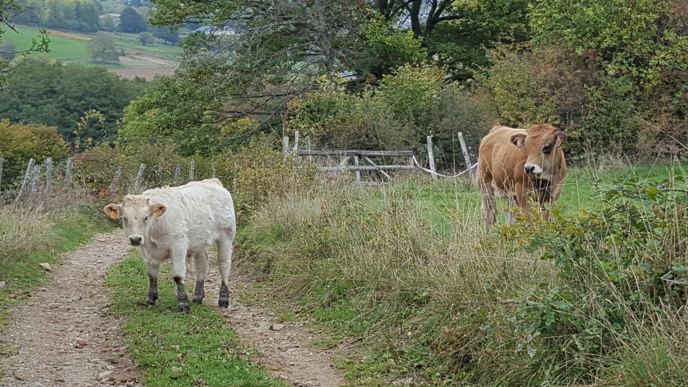
Der Weg verläuft hauptsächlich über Feld- und Waldwege.
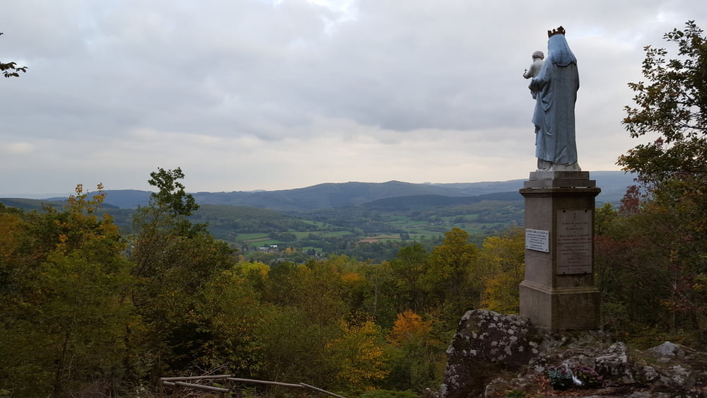
Nach der 1.Runde und einer Pause an der Kirche in Anost kann man zur Notr Dame de Laillant aufsteigen und dort die Aussicht über das Land genießen.
Further information at
http://www.chamina.com/produit/le-morvan-93/Tour gallery
Tour map and elevation profile
Minimum height 406 m
Maximum height 673 m
More about the tour author

|
wickyg |
Comments

Von Autun kommend auf der D978 bis zum Abzweig nach Anost auf die D2
GPS tracks
Trackpoints-
GPX / Garmin Map Source (gpx) download
-
TCX / Garmin Training Center® (tcx) download
-
CRS / Garmin Training Center® (crs) download
-
Google Earth (kml) download
-
G7ToWin (g7t) download
-
TTQV (trk) download
-
Overlay (ovl) download
-
Fugawi (txt) download
-
Kompass (DAV) Track (tk) download
-
Track data sheet (pdf) download
-
Original file of the author (gpx) download
More about the tour author
|
|
wickyg |
Add to my favorites
Remove from my favorites
Edit tags
Open track
My score
Rate