Login

Forgotten password?

Cookies have to be accepted!
Your browser's cookie functionality is disabled. Please enable this functionality.

Not a member yet?

Register now
Login

Available for registred users only

Log in to use this feature.

Forgotten password?

Cookies have to be accepted!
Your browser's cookie functionality is disabled. Please enable this functionality.

Not a member yet?

Register now
Filter
Categories
Advanced filters
  • Distance (km)
  • Height
Save filters Reset filter

TrackRank

QRCode

Technical data

Distance17,1 km Height829 m Way down800 m Duration08:00 h:m Date05.11.2015
Scores Author Landscape Fun factor Fitness Technique

Statistics

2086 Views Scores 37 Downloads Average
Rate
  • Track data sheet
  • Directions
  • Downloads
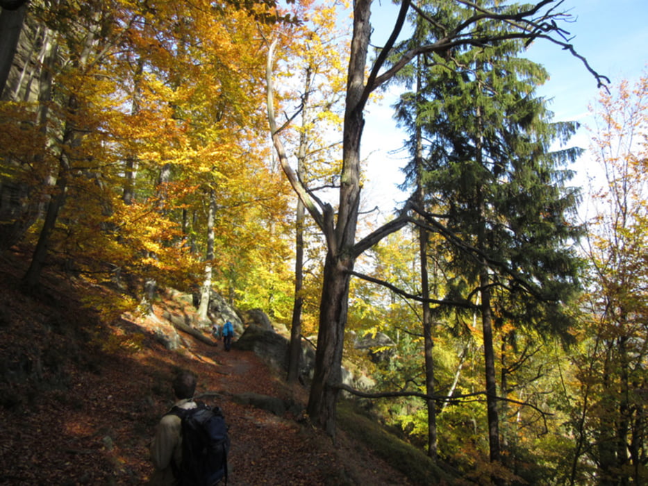
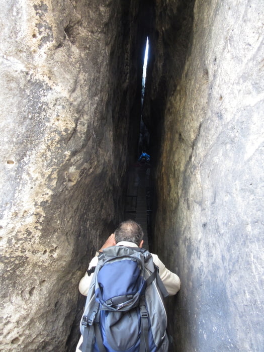
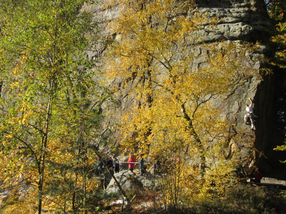
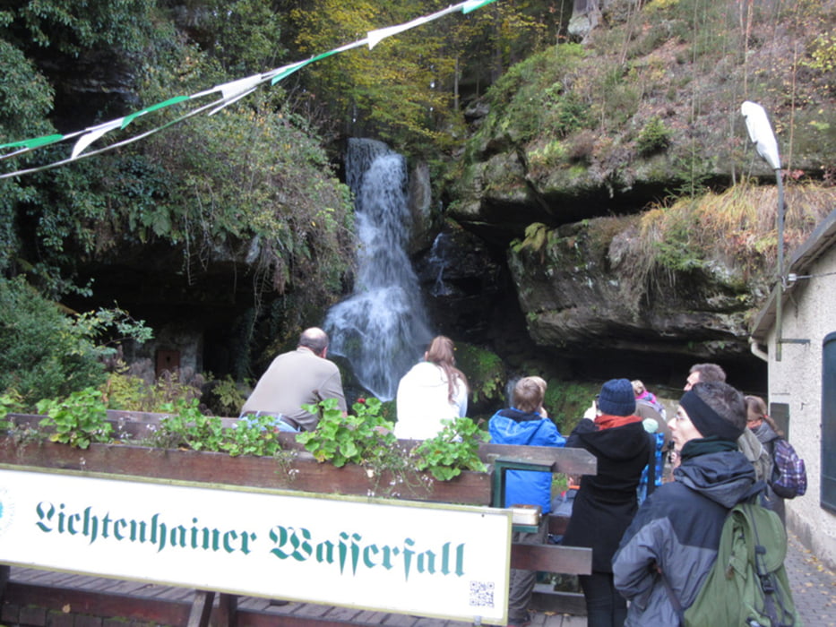
Von Bad Schandau am Elbufer bis Postelwitz, hoch zum Schrammtor, weiter zur Schrammsteinaussicht. Von dort auf dem Gratweg über die Affensteine zum Kleinen Winterberg und dann zum Kuhstall und zum Lichtenhainer Wasserfall. Mit der Kirnitschtalbahn zurück nach Bad Schandau.

Further information at

http://xxrhahn.de/wanderungen/sachs-bohm-schweiz/index.html

Tour gallery

Tour map and elevation profile

  • Open Street Map
  • Google
Minimum height 165 m Maximum height 552 m Detailed view

More about the tour author

xxrhahn
Member since 2011

Send private message

Comments

direkt ab Pension

GPS tracks

Trackpoints
  • GPX / Garmin Map Source (gpx) download
  • TCX / Garmin Training Center® (tcx) download
  • CRS / Garmin Training Center® (crs) download
  • Google Earth (kml) download
  • G7ToWin (g7t) download
  • TTQV (trk) download
  • Overlay (ovl) download
  • Fugawi (txt) download
  • Kompass (DAV) Track (tk) download
  • Track data sheet (pdf) download
  • Original file of the author (gpx) download

More about the tour author

xxrhahn
Member since 2011

Send private message
Share track
Add to my favorites
Remove from my favorites
Edit tags
My score
Rate
Track: Sächsische Schweiz - Schrammsteine-Kuhstall-Lichtenhainer Wasserfall
Type: Hiking
Distance: 17,1 km
Evaluated on:
Duration:
Day(s)
Hour(s)
Minute(s)
Score: Landscape Fun factor Fitness Technique