


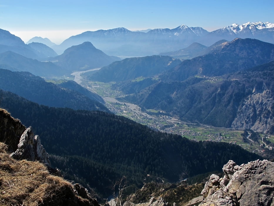
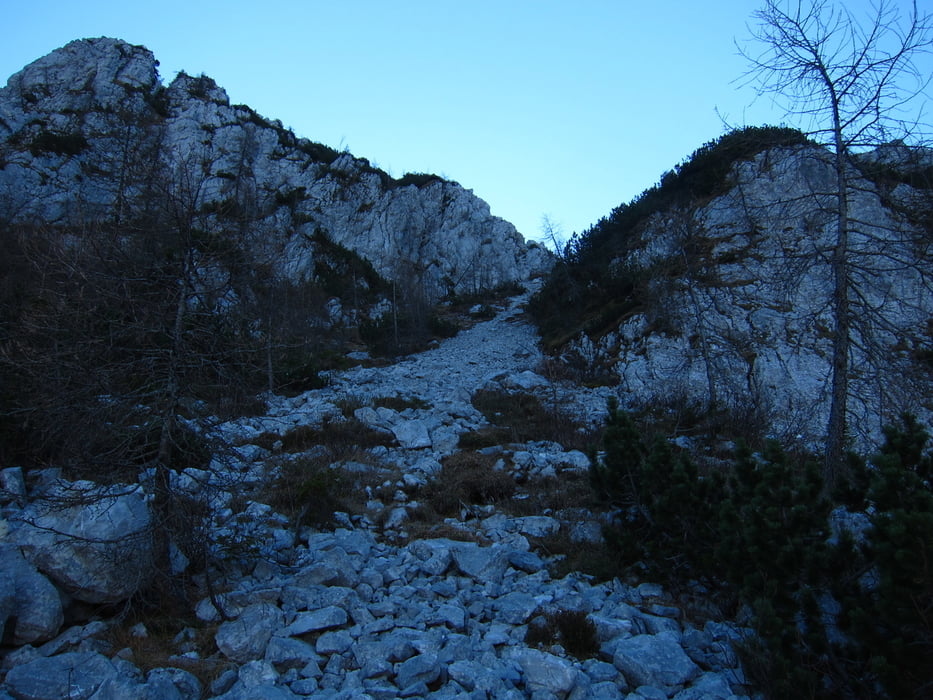
Escursione molto varia, che si svolge tra boschi di faggi, distese di mugheti, pascoli, e ghiaioni.
Da park. "Alzeri" si segue la carrareccia 409, che poi diventando sentiero sale ripido sino alla dismessa c.ra Cucco di sopra 1683 (3 ore). Prima di arrivare alla casera un sentiero si inoltra a sinistra fra radi mughi sino in cima al m. Cucco 1804 (0,40 ore). Dalla cima si scende velocemente per ghiaioni sino ad entrare in un bel bosco di faggio sino alla casera monte Cucco 1445 (1.00 ore). Ora un lungo traverso su sent. 408 sino al Bivacco Lander 1225 (0.30 ore) meritevole una visita alle belle erosioni chiamate appunto "campanili di Lander". Dal bivacco si scende al parcheggio sempre con il sentiero 408. (0.50 ore)
Nel Link di approfondimento il giro è inverso.
Further information at
http://www.sentierinatura.it/EasyNE2/LYT.aspx?Code=SentieriNatura&IDLYT=1349&ST=SQL&SQL=ID_Documento=98Tour gallery

Tour map and elevation profile
Minimum height 660 m
Maximum height 1802 m
More about the tour author
|
|
sioni |
Comments

Da Tolmezzo seguire le indicazioni "PLOCKENPASS" Austria, sino ad Arta Terme e poi a Piano d'Arta. Dal Passo Monte Croce Carnico scendere sino a Piano d'Arta. Quindi seguire le indicazioni per "alzeri" o "sentiero dei Lander" sino al parcheggio a quota 660.
GPS tracks
Trackpoints-
GPX / Garmin Map Source (gpx) download
-
TCX / Garmin Training Center® (tcx) download
-
CRS / Garmin Training Center® (crs) download
-
Google Earth (kml) download
-
G7ToWin (g7t) download
-
TTQV (trk) download
-
Overlay (ovl) download
-
Fugawi (txt) download
-
Kompass (DAV) Track (tk) download
-
Track data sheet (pdf) download
-
Original file of the author (gpx) download
More about the tour author
|
|
sioni |
Add to my favorites
Remove from my favorites
Edit tags
Open track
My score
Rate