


Weitere Bilder: www.panoramio.com/photo/48698467
Diese Tour lehnt sich an die Tour Nr. 13900: »Neubulach« an. Der Start ist allerdings in Dagersheim und in der Höhe von Gechingen stößt die Tour auf die »Neubulach« - Tour.
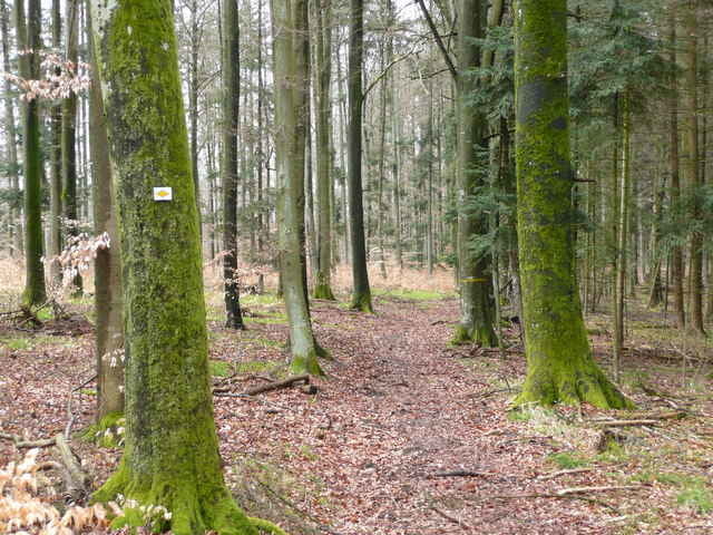
Ab und zu kommt auch ein Singletrail. Ansonsten geht die Tour über Forst- und Wiesenwege, aber auch geteerte Wege sind dabei.
Zwischendurch geht die Tour auch an Naturschutzgebieten oder Naturdenkmälern vorbei.
Tour gallery
Tour map and elevation profile
Minimum height 346 m
Maximum height 595 m
More about the tour author
|
|
MatthiasBy |
Comments
Mit der S-Bahn ist die Haltestelle Böblingen-Hulb in der Nähe. Mit dem Auto die A81 bei der Abfahrt Böblingen-Hulb verlassen und nach Dagersheim fahren. Gut zu parken ist auf der "linken" Seite von Dagersheim beim Sportplatz
GPS tracks
Trackpoints-
GPX / Garmin Map Source (gpx) download
-
TCX / Garmin Training Center® (tcx) download
-
CRS / Garmin Training Center® (crs) download
-
Google Earth (kml) download
-
G7ToWin (g7t) download
-
TTQV (trk) download
-
Overlay (ovl) download
-
Fugawi (txt) download
-
Kompass (DAV) Track (tk) download
-
Track data sheet (pdf) download
-
Original file of the author (gpx) download
More about the tour author
|
|
MatthiasBy |
Add to my favorites
Remove from my favorites
Edit tags
Open track
My score
Rate
Tour #14683
Danke
Danke für die Rückmeldung. Die Tour war bereits 2008. So musste ich doch noch länger nachdenken, wie ich gefahren bin. Jedoch, das Nagoldtal ist immer wieder interessant. Grüße Matthias