


Wer den Po-Radweg fährt, besucht wahrscheinlich auch die beiden Städte Mantua/Mantova und Ferrara, die beide zum UNESCO-Weltkulturerbe gehören.
Und wer mit den bikeline-Führer vom Esterbauer-Verlag fährt, hat für den Hin- und Rückweg vom bzw. zum Po-Radweg nur eine Möglichkeit, das heisst man nimm zweimal den gleichen Weg, sowohl bei Ferrara wie auch bei Mantua. Es gibt eine lohnende Alternative.
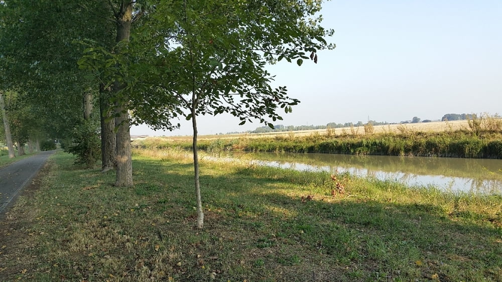
Von Ferrara bis Bondeno (wir sind Po-aufwärts gefahren) dem „Itinerario Ciclopedonale Burana“ entlang, einem ausgeschilderten Radweg am Canale di Burana, offenbar auch als Po di Volano bezeichnet. Auf diesem Weg kann man lange auf Asphalt im Schatten einer Allee fahren. In Bondeno stösst man wieder auf den Po-Radweg, dem man bis Covernolo folgt. Dort zweigt die Alternative wieder ab.
Die Radstrecke führt von Mantua weiter bis nach Peschiera del Garda am Gardasee. Diesen Teil sind wir nicht gefahren, er ist aber im Internet vorhanden
Links:
Track von Peschiera del Garda nach Mantua
http://www.magicoveneto.it/Baldo/Mincio/Pista-Ciclabile-Peschiera-del-Garda-Borghetto-Valeggio-sul-Mincio-Mantova.htm?#CDXBottomTail
ciclovia mantova - peschiera
http://www.turismo.mantova.it/uploads/file/64155b7a15d29882f24be98afdf708f0.pdf
Vom Gardasee zur Adria
http://www.turismo.mantova.it/garda-adriatico/ted/der_pfad.html
Broschüre
http://www.turismo.mantova.it/garda-adriatico/ted/pdf/brochure.pdf
Tour gallery
Tour map and elevation profile
Minimum height 4 m
Maximum height 44 m
More about the tour author

|
pit13 |
Comments

GPS tracks
Trackpoints-
GPX / Garmin Map Source (gpx) download
-
TCX / Garmin Training Center® (tcx) download
-
CRS / Garmin Training Center® (crs) download
-
Google Earth (kml) download
-
G7ToWin (g7t) download
-
TTQV (trk) download
-
Overlay (ovl) download
-
Fugawi (txt) download
-
Kompass (DAV) Track (tk) download
-
Track data sheet (pdf) download
-
Original file of the author (gpx) download
More about the tour author
|
|
pit13 |
Add to my favorites
Remove from my favorites
Edit tags
Open track
My score
Rate