Login

Forgot your login?

Cookies have to be accepted!
Your browser's cookie functionality is disabled. Please enable this functionality.

Not a member yet?

Register now
Login

Available for registred users only

Log in to use this feature.

Forgot your login?

Cookies have to be accepted!
Your browser's cookie functionality is disabled. Please enable this functionality.

Not a member yet?

Register now
Filter
Categories
Advanced filters
  • Distance (km)
  • Height
Save filters Reset filter

TrackRank

QRCode

Technical data

Distance21,7 km Height1683 m Way down1650 m Duration06:00 h:m Date24.11.2015
Scores Author Landscape Fun factor Fitness Technique

Statistics

244 Views Scores 21 Downloads Average
Rate
  • Track data sheet
  • Directions
  • Downloads

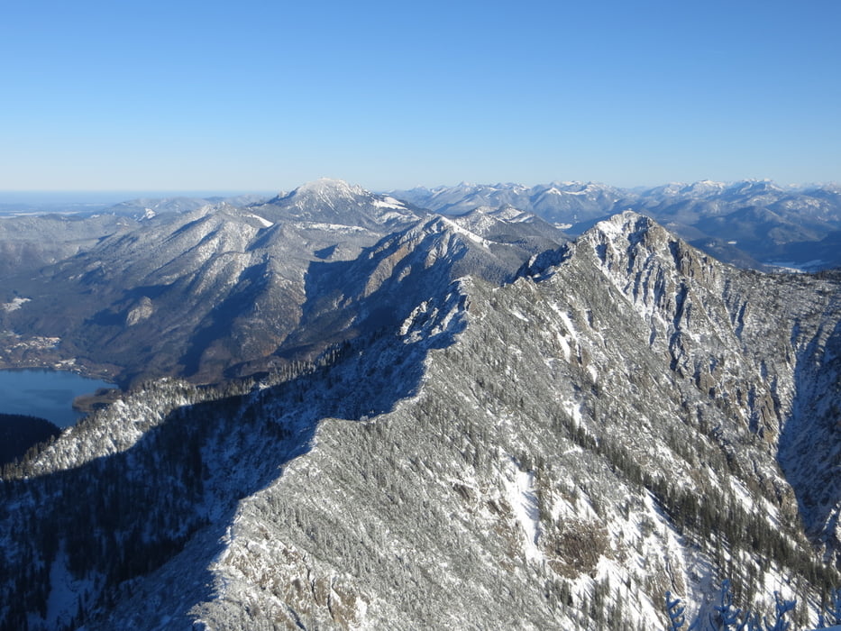
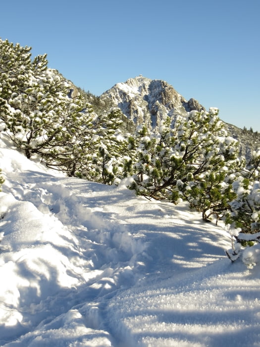
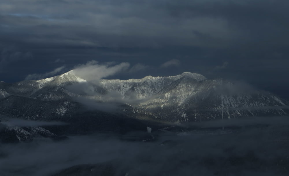
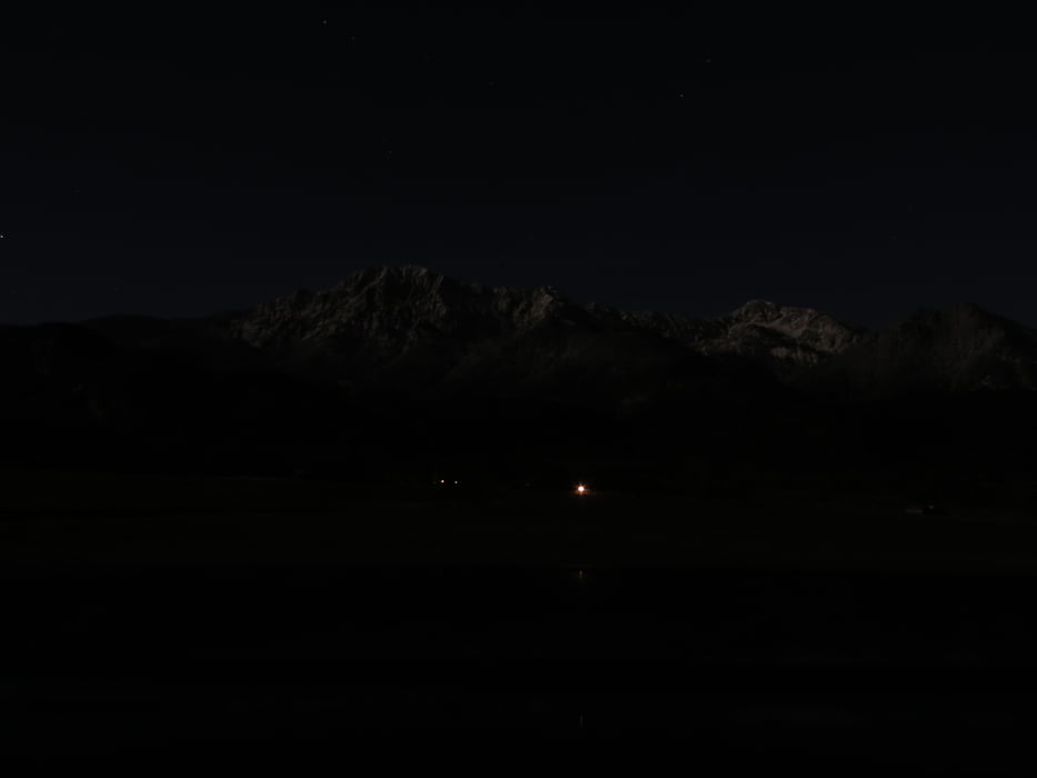
Wintereröffnung am Gratweg 11/2015

3x Gratweg in der Sonne
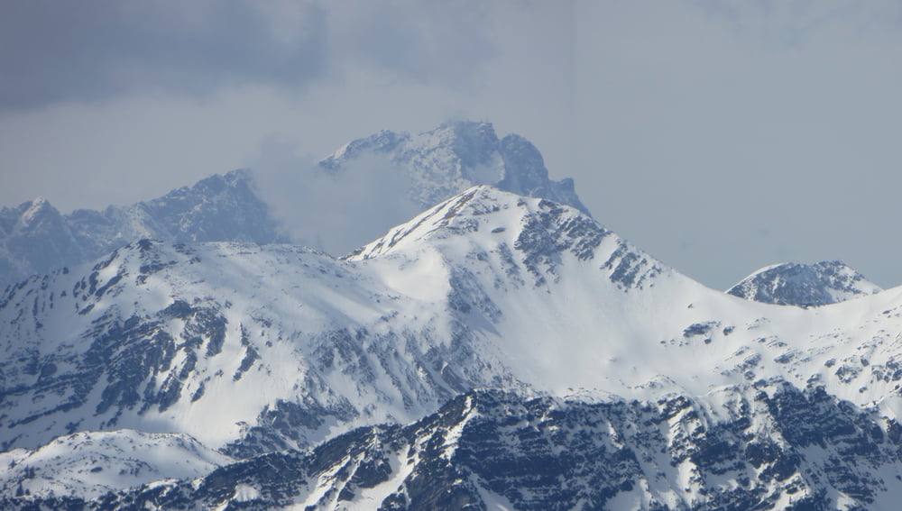


Tour gallery

Tour map and elevation profile

  • Open Street Map
  • Google
Minimum height 770 m Maximum height 1808 m Detailed view

More about the tour author

Mathis_muc
Member since 2008

Send private message

Comments

ChristoHutschel on 03.01.2016

Video

Die Wanderung vom Walchensee auf den Heimgarten (1790m) und dann via schönem Grat auf den Herzogstand (1731m) ist ein echter Klassiker in den Voralpen. Die Aussicht ist super, der Weg sehr schön und abwechslungsreich – dabei nie wirklich schwer – und am Gipfel des Heimgarten (Heimgartenhütte) sowie etwas unterhalb des Herzogstands (Berggasthaus Herzogstand) warten zwei schöne, aussichtsreiche Hütten auf den geschafften Wanderer. Und bei der Hitze natürlich Baden im Walchensee :-) Hier mein kleines Video dazu. Man kann gut den Schwierigkeitsgrat sehen und einschätzen. http://youtu.be/Ccr5p8b4TgQ

GPS tracks

Trackpoints
  • GPX / Garmin Map Source (gpx) download
  • TCX / Garmin Training Center® (tcx) download
  • CRS / Garmin Training Center® (crs) download
  • Google Earth (kml) download
  • G7ToWin (g7t) download
  • TTQV (trk) download
  • Overlay (ovl) download
  • Fugawi (txt) download
  • Kompass (DAV) Track (tk) download
  • Track data sheet (pdf) download
  • Original file of the author (gpx) download

More about the tour author

Mathis_muc
Member since 2008

Send private message
Share track
Add to my favorites
Remove from my favorites
Edit tags
My score
Rate
Track: Heimgarten-3xGratweg-Herzogstand Wintersonne
Type: Mountain hiking
Distance: 21,7 km
Evaluated on:
Duration:
Day(s)
Hour(s)
Minute(s)
Score: Landscape Fun factor Fitness Technique