


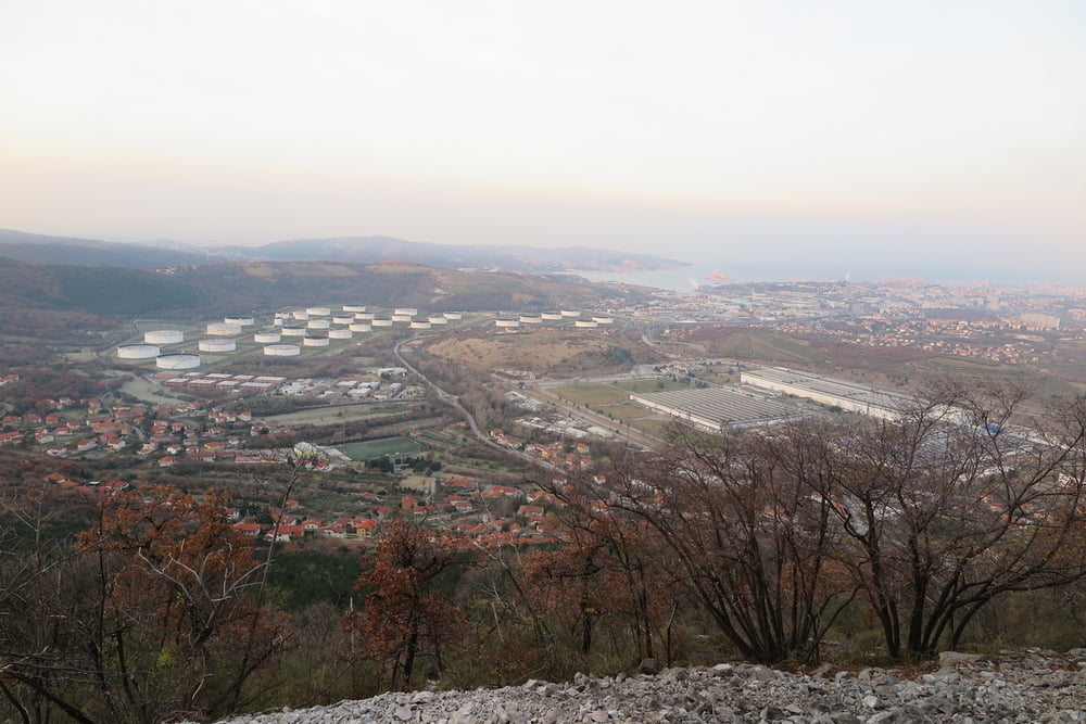
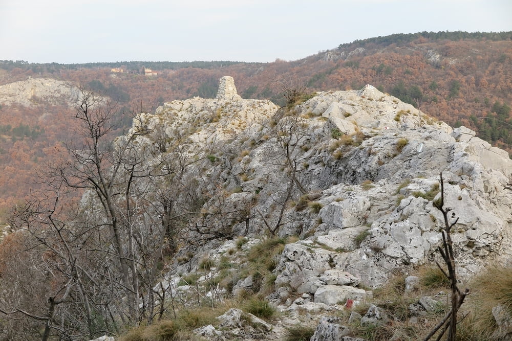
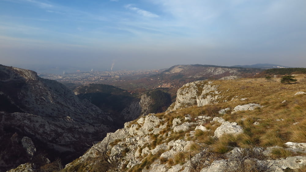
Itinerario circolare per visitare questo valle lontana dalle grandi cime ma con il suo bel fascino. Io sono partito dal comodo parcheggio a Bagnoli, ma si può partire da qualsiasi località in loco, come ci si può sbizzarrire per la scelta dei percorsi perchè la valle è attraversata da numerosi sentieri.
Tour gallery
Tour map and elevation profile
Minimum height 99999 m
Maximum height -99999 m
More about the tour author
|
|
sioni |
Comments

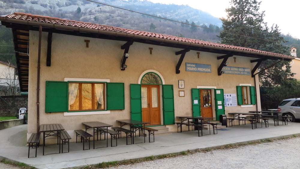
Dal raccordo RA13 in direzione Trieste prendere l'uscita per Padriciano, quindi segnalazioni per Basovizza, quindi seguire per S. Dorligo della Valle.
GPS tracks
Trackpoints-
GPX / Garmin Map Source (gpx) download
-
TCX / Garmin Training Center® (tcx) download
-
CRS / Garmin Training Center® (crs) download
-
Google Earth (kml) download
-
G7ToWin (g7t) download
-
TTQV (trk) download
-
Overlay (ovl) download
-
Fugawi (txt) download
-
Kompass (DAV) Track (tk) download
-
Track data sheet (pdf) download
-
Original file of the author (gpx) download
More about the tour author
|
|
sioni |
Add to my favorites
Remove from my favorites
Edit tags
Open track
My score
Rate