


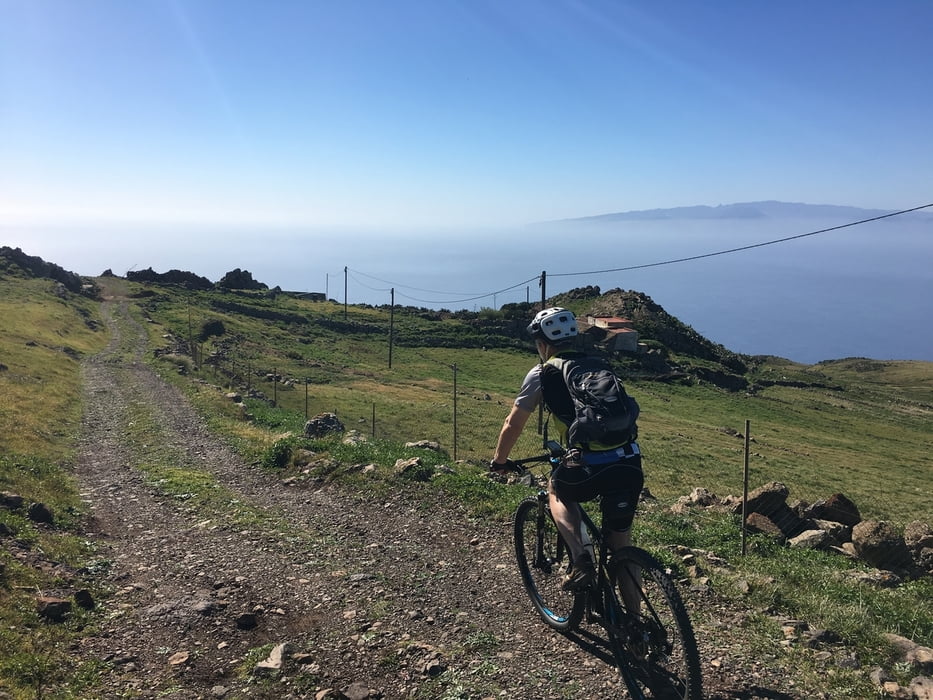
Genusstour durchs Teno-Gebirge und einen Panoramaweg entlang der Nordwest-Küste mit herrlichen Aussichten auf die Nachbarinseln La Gomera und La Palma (bei entsprechenden Sichtverhältnissen). Die Strecke ist bis auf die letzten 2 km durchweg befestigt und ohne Probleme befahrbar.
Tour gallery
Tour map and elevation profile
Minimum height 499 m
Maximum height 849 m
More about the tour author

|
lascala |
Comments

Diese Tour kann sehr gut mit einer Anfahrt über das tolle Masca-Tal kombiniert werden. Lohnenswert in jedem Fall ist auch die An- bzw. Rückfahrt über die TF436 via Garachico
GPS tracks
Trackpoints-
GPX / Garmin Map Source (gpx) download
-
TCX / Garmin Training Center® (tcx) download
-
CRS / Garmin Training Center® (crs) download
-
Google Earth (kml) download
-
G7ToWin (g7t) download
-
TTQV (trk) download
-
Overlay (ovl) download
-
Fugawi (txt) download
-
Kompass (DAV) Track (tk) download
-
Track data sheet (pdf) download
-
Original file of the author (gpx) download
More about the tour author
|
|
lascala |
Add to my favorites
Remove from my favorites
Edit tags
Open track
My score
Rate