


In diesem Winter hatte bisher die Pechmarie das Sagen. Nun ist es endlich soweit, dass die Goldmarie und Frau Holle zu mindestens mit Schneekanonen loslegen können.
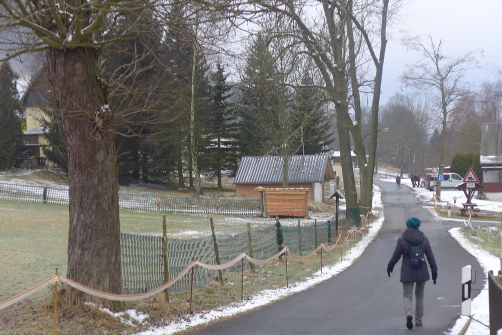
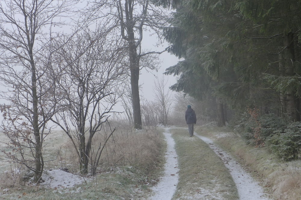
Ich habe die Goldmarie von der Arbeit abgelenkt und einen kleinen Neujahrsspaziergang mit ihr in Holzhau unternommen. Gestartet sind wir von einem kostenlosen Wanderparkplatz am Erbgericht. Wenn uns danach gewesen wäre, so hätten wir des Öfteren unterwegs einkehren können (z.B. in der Fischerbaude, im Torfhaus, im Teichhaus, im Talblick, im Lindenhof …, …).
Ich habe die Goldmarie von der Arbeit abgelenkt und einen kleinen Neujahrsspaziergang mit ihr in Holzhau unternommen. Gestartet sind wir von einem kostenlosen Wanderparkplatz am Erbgericht. Wenn uns danach gewesen wäre, so hätten wir des Öfteren unterwegs einkehren können (z.B. in der Fischerbaude, im Torfhaus, im Teichhaus, im Talblick, im Lindenhof …, …).
Further information at
http://www.freiberg-service.de/Tour gallery
Tour map and elevation profile
Minimum height 588 m
Maximum height 770 m
More about the tour author
|
|
Saxoniaradler |
Comments

Von Freiberg fährt man auf der S184 bis Frauenstein und dann weiter auf der B171 bis Bienenmühle und anschließend auf der Muldenstraße nach Holzhau.
Camper können von ihrem Platz am Waldbad nach ein paar hundert Metern die B101 erreichen.
GPS tracks
Trackpoints-
GPX / Garmin Map Source (gpx) download
-
TCX / Garmin Training Center® (tcx) download
-
CRS / Garmin Training Center® (crs) download
-
Google Earth (kml) download
-
G7ToWin (g7t) download
-
TTQV (trk) download
-
Overlay (ovl) download
-
Fugawi (txt) download
-
Kompass (DAV) Track (tk) download
-
Track data sheet (pdf) download
-
Original file of the author (gpx) download
More about the tour author
|
|
Saxoniaradler |
Add to my favorites
Remove from my favorites
Edit tags
Open track
My score
Rate