Login

Forgot your login?

Cookies have to be accepted!
Your browser's cookie functionality is disabled. Please enable this functionality.

Not a member yet?

Register now
Login

Available for registred users only

Log in to use this feature.

Forgot your login?

Cookies have to be accepted!
Your browser's cookie functionality is disabled. Please enable this functionality.

Not a member yet?

Register now
Filter
Categories
Advanced filters
  • Distance (km)
  • Height
Save filters Reset filter

TrackRank

QRCode

Technical data

Distance94,2 km Height1281 m Way down317 m Duration08:00 h:m Date10.01.2016
Scores Author Landscape Fun factor Fitness Technique

Statistics

84 Views Scores 2 Downloads Average
Rate
  • Track data sheet
  • Directions
  • Downloads

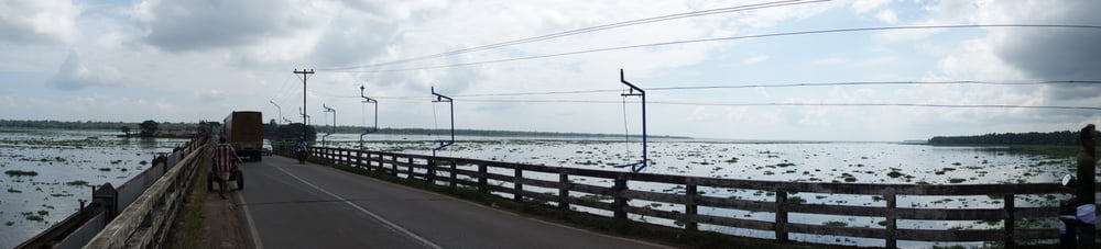
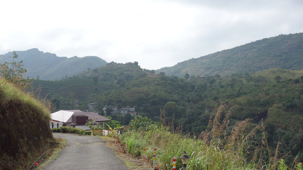
Strecke von Marari Beach - Vagamon. Streckenführung nicht optimal. Würde die Strecke Teilen und veruschen den Mittelteil auf kleinere Wege zu legen. Aufstieg in die Berge ist sehr schön.


Tour gallery

Tour map and elevation profile

  • Open Street Map
  • Google
Minimum height -1 m Maximum height 981 m Detailed view

More about the tour author

Hasan
Member since 2008

Send private message

Comments

Siehe Etappe 2


GPS tracks

Trackpoints
  • GPX / Garmin Map Source (gpx) download
  • TCX / Garmin Training Center® (tcx) download
  • CRS / Garmin Training Center® (crs) download
  • Google Earth (kml) download
  • G7ToWin (g7t) download
  • TTQV (trk) download
  • Overlay (ovl) download
  • Fugawi (txt) download
  • Kompass (DAV) Track (tk) download
  • Track data sheet (pdf) download
  • Original file of the author (gpx) download

More about the tour author

Hasan
Member since 2008

Send private message
Share track
Add to my favorites
Remove from my favorites
Edit tags
My score
Rate
Track: 3 Etappe Marari Beach - Vagamon
Type: Bicycle tours
Distance: 94,2 km
Evaluated on:
Duration:
Day(s)
Hour(s)
Minute(s)
Score: Landscape Fun factor Fitness Technique