


Für meiner heurigen Winterwandertage wählte ich als Ausgangspunkt denn sehr empfehlenswerten Berggasthof Schwengerer.
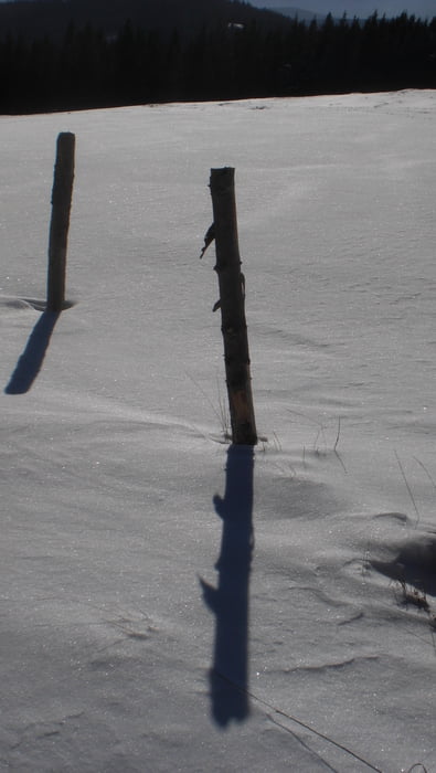
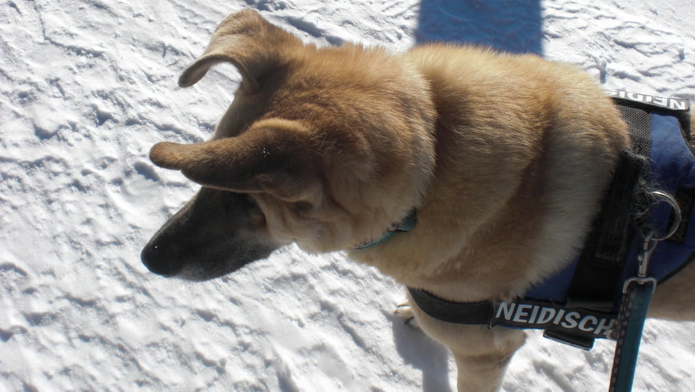
Der erste Tag war geprägt von strahlenden Sonnenschein und so stand einer Runde mit dem Wandershund und leider ohne Schneeschuhe nichts mehr im Weg. Eigentlich ging ich ohne wirkliches Ziel los und wollte nur die Landschaft und das traumhafte Wetter genießen.
Dank perfekter Beschilderung ist ein verlaufen fast unmöglich und so wurden es fast 10 Kilometer in der Winterlandschaft mit herrlicher Aussicht.
Further information at
http://www.schwengerer.at/Tour gallery
Tour map and elevation profile
Minimum height 851 m
Maximum height 1473 m
More about the tour author
|
|
Yeti2333 |
Comments

Über die S1 und A2 bis zur Abfahrt Pingau Friedberg weiter über die B63 und B54 Richtung Rohrbach A.D.L. und dann auf der L405 und L416 nach Mönichwald. Danach bin ich einfach denn Hinweisschildern zum Quartier gefolgt oder Ihr vertraut dem Navi.
GPS tracks
Trackpoints-
GPX / Garmin Map Source (gpx) download
-
TCX / Garmin Training Center® (tcx) download
-
CRS / Garmin Training Center® (crs) download
-
Google Earth (kml) download
-
G7ToWin (g7t) download
-
TTQV (trk) download
-
Overlay (ovl) download
-
Fugawi (txt) download
-
Kompass (DAV) Track (tk) download
-
Track data sheet (pdf) download
-
Original file of the author (gpx) download
More about the tour author
|
|
Yeti2333 |
Add to my favorites
Remove from my favorites
Edit tags
Open track
My score
Rate