


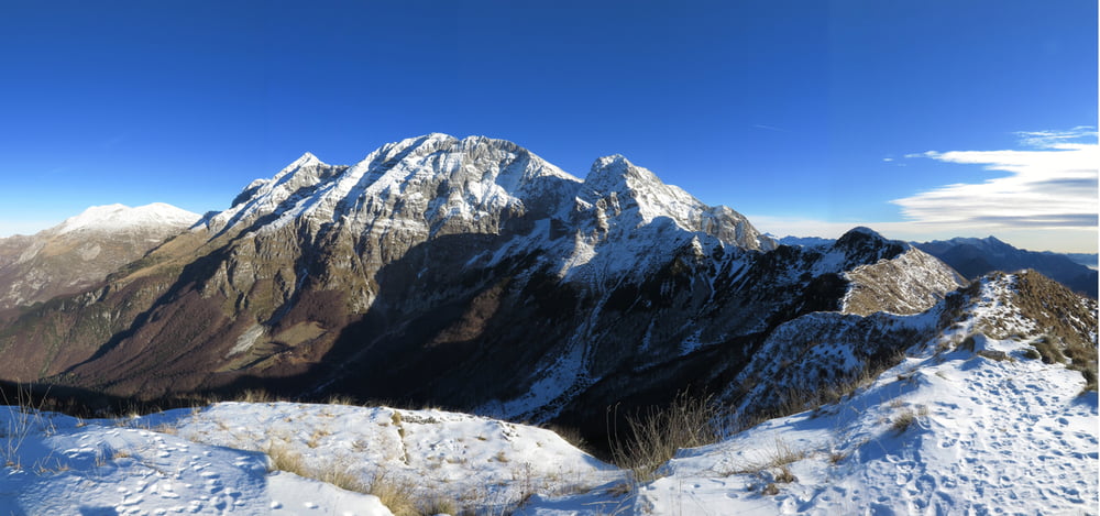
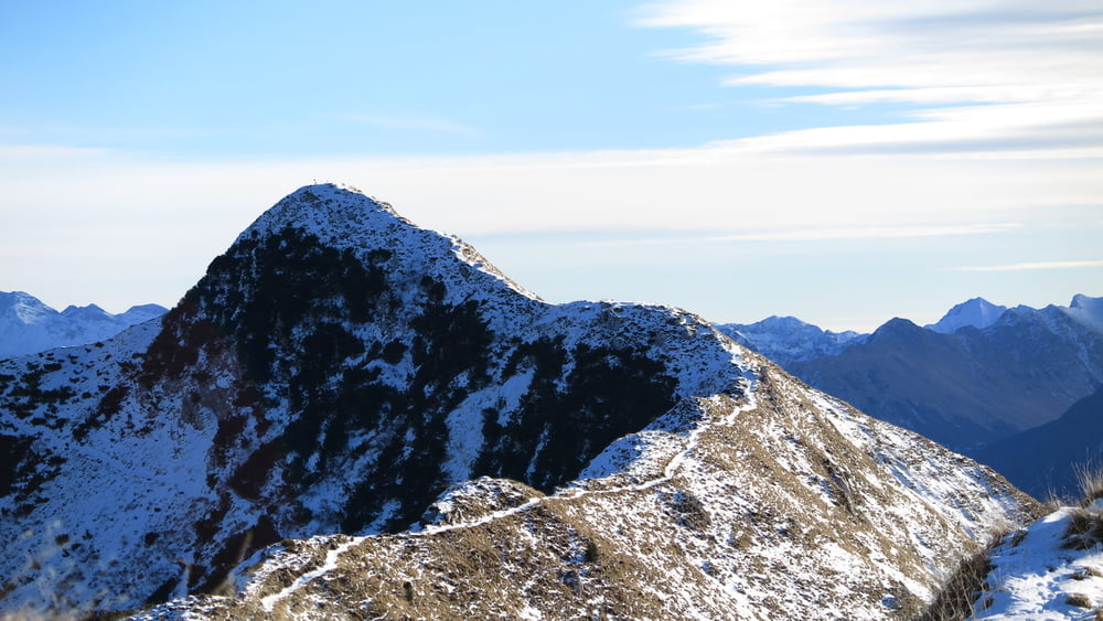
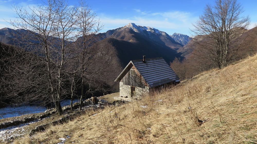
Dal paesino di Uccea si segue il sent. 733 per dei boschi di faggi sino alla cima del m. Caal 1297. Dalla cima si scende per ripidi prati sino a riprendere il sentiero e poi seguirlo sino ad incontrare la tabella "anello del m. Banera", qui si devia a SX e si segue i radi bolli rossi. Il sentiero, ancora in fase di realizzazione, attraversa i ripidi prati sino ad arrivare alla sella ed incontrare il sent. 731 e per questo sino alla cima del Banera 1615 prima, e poi sul Plagne 1663. Quindi si rientra per il semplice sentiero 733 sino alla bella casera Caal 1208. E riprendendo il sentiero di andata si ritorna a Uccea.
ATTENZIONE: salire sul Banera in senso orario, in discesa il sentiero è difficile da seguire.
Tour gallery
Tour map and elevation profile
Minimum height 660 m
Maximum height 1667 m
More about the tour author
|
|
sioni |
Comments

Da Tarcento seguire prima le indicazioni P.SSO TANAMEA, oltrepassato il passo scendere per il confine Sloveno, ad un incrocio salire ad UCCEA.
Dalla ZAGA, Slovenia, seguire le indicazioni per P:SSO TANAMEA, molto prima si sale al paesino di UCCEA
GPS tracks
Trackpoints-
GPX / Garmin Map Source (gpx) download
-
TCX / Garmin Training Center® (tcx) download
-
CRS / Garmin Training Center® (crs) download
-
Google Earth (kml) download
-
G7ToWin (g7t) download
-
TTQV (trk) download
-
Overlay (ovl) download
-
Fugawi (txt) download
-
Kompass (DAV) Track (tk) download
-
Track data sheet (pdf) download
-
Original file of the author (gpx) download
More about the tour author
|
|
sioni |
Add to my favorites
Remove from my favorites
Edit tags
Open track
My score
Rate