


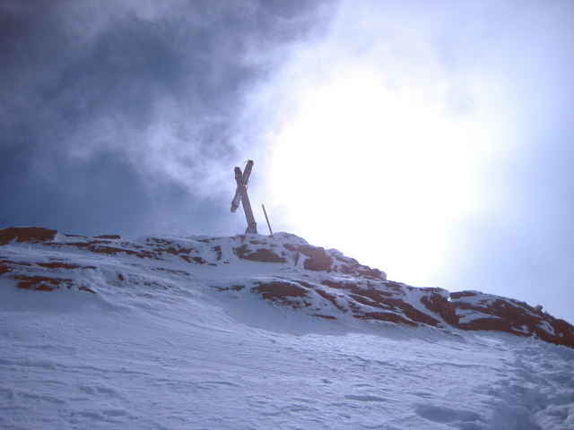
Von der Jamtalhütte in die Ochsenscharte und von dort zum Skidepot unter dem Grat, von dort zu Fuß auf den Gipfel. Zwischen Vor- und Hauptgipfel leichte, aber exponierte Kletterei an wenigen Stellen. Bei Vereisung ab Skidepot Eisausrüstung. Abfahrt vom Skidepot über Wiesbadener Hütte über den Silvrettastausee zur Bieler Höhe. Die Tour geht genauso in die andere Richtung als Zugang zur Jamtalhütte.
Tour gallery
Tour map and elevation profile
Minimum height 2003 m
Maximum height 3202 m
More about the tour author

|
Steinert |
Comments

Zur Jamtalhütte von Galtür auf Schlittenspur oder ganz bequem mit Motorschlitten und Gepäcktransport. Aus der anderen Richtung von Partenen mit Vermuntbahn (Gondel) nach Trominier und von dort mit Tunneltaxi zur Bieler Höhe, hin u. zurück 23 €. Abfahrt nach Partenen relativ unlohnend (viel Auf und Ab)und ggf. von Nassschneelawinen bedroht.
GPS tracks
Trackpoints-
GPX / Garmin Map Source (gpx) download
-
TCX / Garmin Training Center® (tcx) download
-
CRS / Garmin Training Center® (crs) download
-
Google Earth (kml) download
-
G7ToWin (g7t) download
-
TTQV (trk) download
-
Overlay (ovl) download
-
Fugawi (txt) download
-
Kompass (DAV) Track (tk) download
-
Track data sheet (pdf) download
-
Original file of the author (g7t) download
More about the tour author
|
|
Steinert |
Add to my favorites
Remove from my favorites
Edit tags
Open track
My score
Rate