

Naizgled vrlo slična staza prethodnoj, ali uz znatno blaži teren prilagođen manje spret-nim vozačima. Asfaltni uspon s panoramskim pogledom na Bol pružit će mogućnost odmora i uživanja dok se blago penjete prema najvišem vrhu otoka, Vidovoj gori.
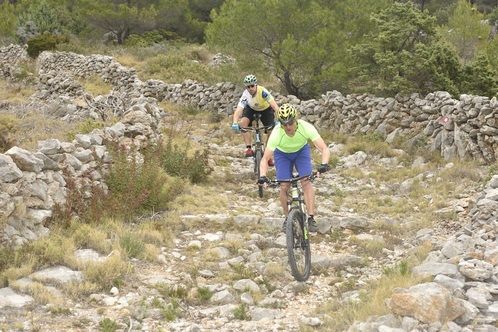
Nakon odmora i prekrasne panorame, povratak je preko dobro utabanih i tehnički nezahtjevnih makadama i šumskih puteva. Staza je namijenjena MTB vozačima bolje fizičke spremnosti koji su u potrazi za tehnički nezahtjevom stazom.
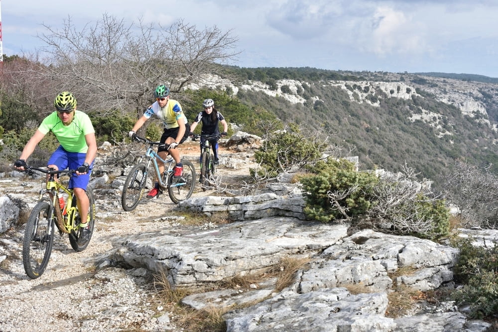
It seems like a very similar trail to the previous one, but with a significantly milder terrain adapted for less skilful riders. A concrete uphill part with a panoramic view over Bol town will provide an opportunity for rest and enjoyment while you are gently climbing towards Vidova gora, the highest peak on the island.
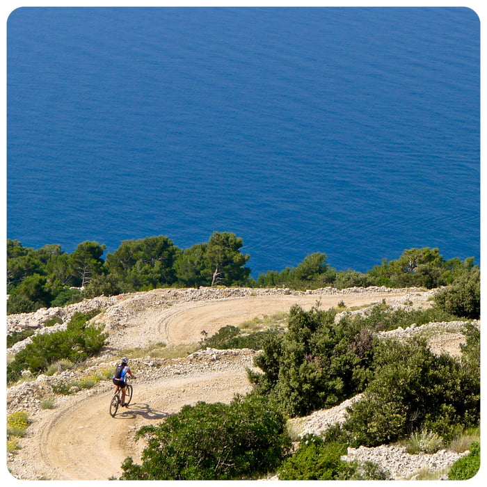
After relaxation and beautiful panorama, the way back leads over nicely beaten paths and technically non demanding macadam and forest tracks. The route is intended for MTB riders in better physical condition, who are searching for a technically non demanding trail.
Tour gallery
Tour map and elevation profile
Minimum height -4 m
Maximum height 774 m
More about the tour author
|
|
AdriaBikeHotels |
Comments

GPS tracks
Trackpoints-
GPX / Garmin Map Source (gpx) download
-
TCX / Garmin Training Center® (tcx) download
-
CRS / Garmin Training Center® (crs) download
-
Google Earth (kml) download
-
G7ToWin (g7t) download
-
TTQV (trk) download
-
Overlay (ovl) download
-
Fugawi (txt) download
-
Kompass (DAV) Track (tk) download
-
Track data sheet (pdf) download
-
Original file of the author (gpx) download
More about the tour author
|
|
AdriaBikeHotels |
Add to my favorites
Remove from my favorites
Edit tags
Open track
My score
Rate