
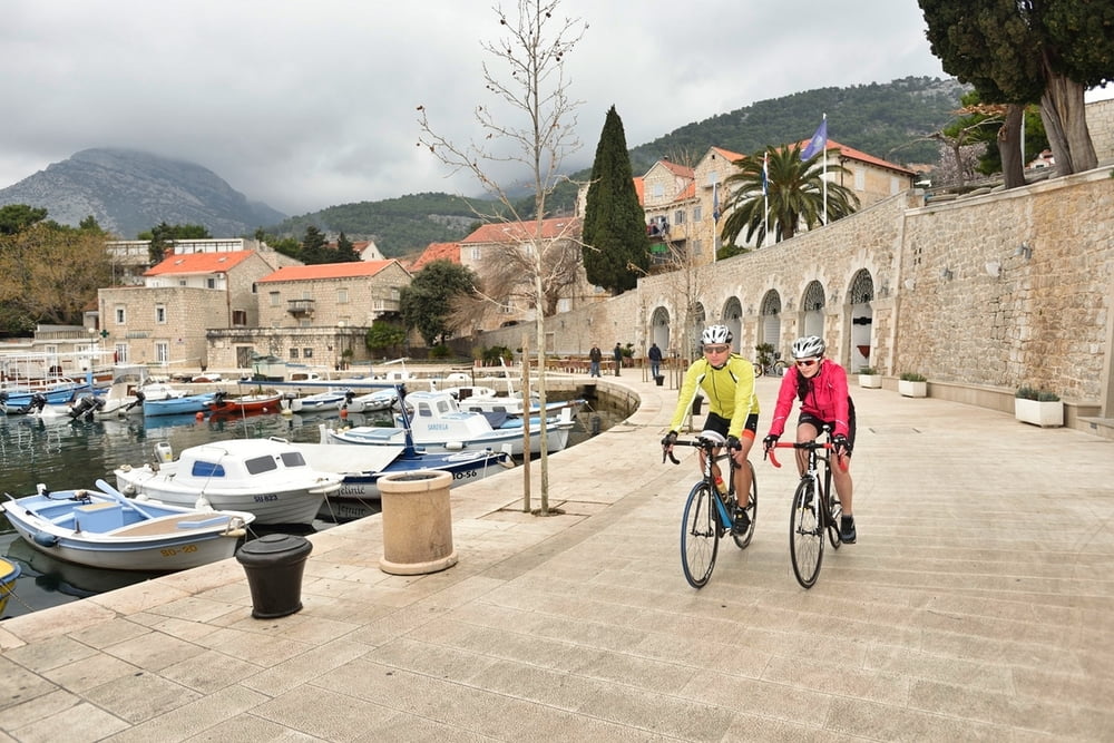

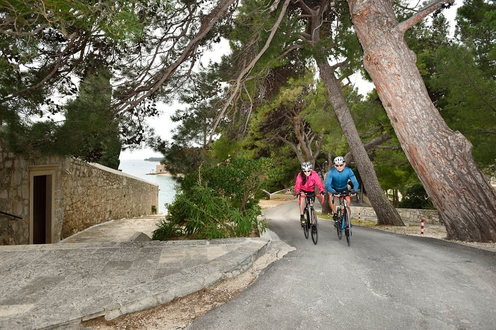
S obzirom na visinski profil i zahtjevnu kilometražu, bez sumnje ovo je epic ruta namijenjena iskusnijim i izdržljivijim vozačima. Ukoliko ste jedan od tih vozača, ruta će vas nagraditi uvidom ne samo u otok Brač već i cjelokupnu regiju i srce Dalmacije. Prolazeći kroz lokalne puteve i glavne prometnice, u jednom trenu vozit ćete neposredno uz more a u drugom ćete zagristi uspon na okolna brda s pogledom na gradove Split i Makarsku.
Doživljaje s ove vožnje definitivno nosite kući.
Napomena: staza uključuje transfere trajektom ili katamaranom. Dio staze prolazi jadranskom magistralom uz mogućnost pojačanog prometa.
Due to its altitude profile and demanding mileage, this is undoubtedly an epic route intended for the most experienced and the most endurable cyclists. Riding through local tracks and main roads, in one moment you will cycle right next to the sea shore, while in the other you will climb on surrounding hills overlooking the cities of Split and Makarska. Adventures experienced on this route, you will definitely take home with you.
Note: The route includes transfers by ferry or catamaran. One part of the route goes along the Adriatic Highway with the possibility of heavier traffic.
Tour gallery
Tour map and elevation profile
Minimum height -3 m
Maximum height 579 m
More about the tour author
|
|
AdriaBikeHotels |
Comments

GPS tracks
Trackpoints-
GPX / Garmin Map Source (gpx) download
-
TCX / Garmin Training Center® (tcx) download
-
CRS / Garmin Training Center® (crs) download
-
Google Earth (kml) download
-
G7ToWin (g7t) download
-
TTQV (trk) download
-
Overlay (ovl) download
-
Fugawi (txt) download
-
Kompass (DAV) Track (tk) download
-
Track data sheet (pdf) download
-
Original file of the author (gpx) download
More about the tour author
|
|
AdriaBikeHotels |
Add to my favorites
Remove from my favorites
Edit tags
Open track
My score
Rate