
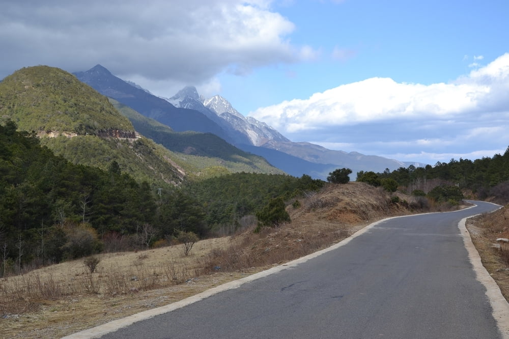

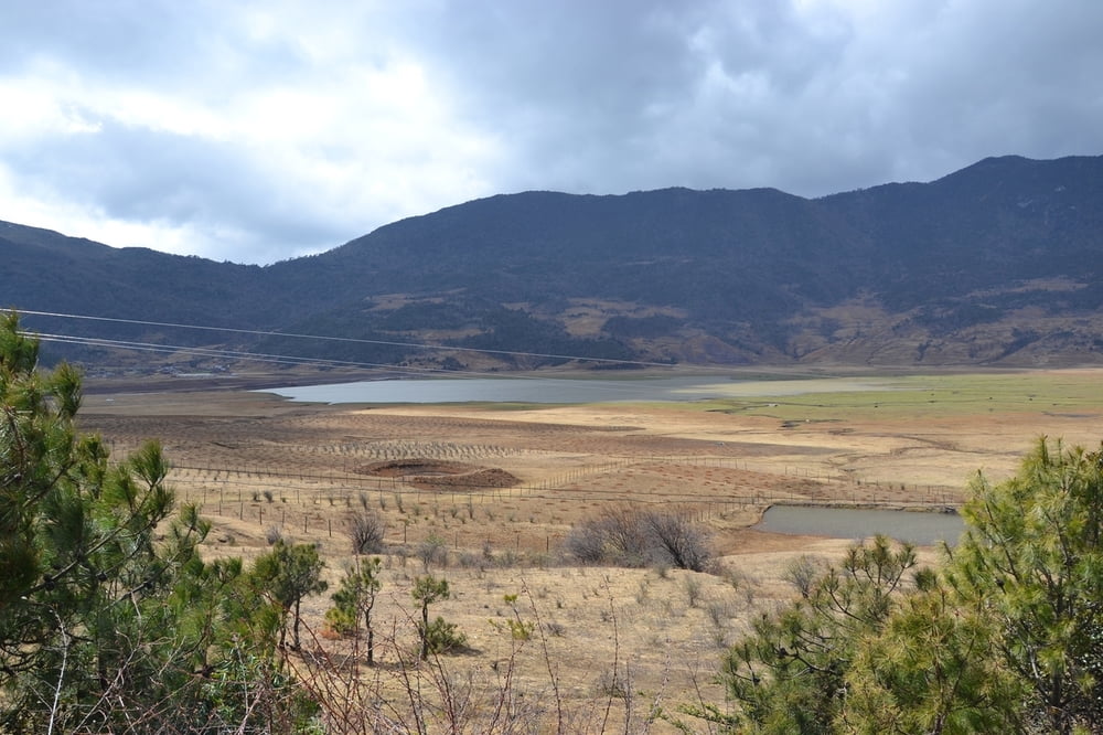
Von Bashai nördlich von Lijiang hoch zum Wenhai See. Die Teerstrasse hört im Moment (2016) am See vor den Ortschaften auf, deswegen "Trekking".
Die Tour ist im Mittel über der Höhe der Passhöhe des Stilfser Jochs, das darf man nicht vergessen!
Die Google Karten sind nicht ganz synchron, OSM Karten sind besser
Tour gallery
Tour map and elevation profile
Minimum height 2528 m
Maximum height 3209 m
More about the tour author

|
Stefan_L_01 |
Comments

Bashai ist mit dem Rad auch von Lijiang aus gut zu erreichen (15km). Nebenstrassen sind gepflastert und sehr holprig. Die neuen Strassen raus aus Lijiang haben meist einen Radweg rechts ausgewiesen. Trotzdem Vorsicht!
GPS tracks
Trackpoints-
GPX / Garmin Map Source (gpx) download
-
TCX / Garmin Training Center® (tcx) download
-
CRS / Garmin Training Center® (crs) download
-
Google Earth (kml) download
-
G7ToWin (g7t) download
-
TTQV (trk) download
-
Overlay (ovl) download
-
Fugawi (txt) download
-
Kompass (DAV) Track (tk) download
-
Track data sheet (pdf) download
-
Original file of the author (gpx) download
More about the tour author
|
|
Stefan_L_01 |
Add to my favorites
Remove from my favorites
Edit tags
Open track
My score
Rate