


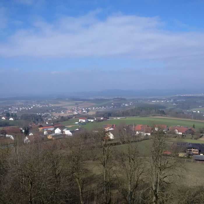
Kurzer Rundweg, vorbei an den Kleingärten, hinauf zur Luitpoldhöhe mit Ausichtsturm und wunderschönem Blick. Bergab vorbei am Schillerfelsen, Kalvarienbergkirche und Kneippbecken.
Further information at
http://www.cham.de/Stadt-B%C3%BCrger/Die-Stadt/Sehensw%C3%BCrdigkeiten/KirchenTour gallery


Tour map and elevation profile
Minimum height 401 m
Maximum height 505 m
More about the tour author

|
grenz-pfad-fahrer |
Comments

Vom Sportplatz kommend die PArkstraße bergauf und in die erste Straße nach der Tilsiter Straße rechts einbiegen und Parken.
GPS tracks
Trackpoints-
GPX / Garmin Map Source (gpx) download
-
TCX / Garmin Training Center® (tcx) download
-
CRS / Garmin Training Center® (crs) download
-
Google Earth (kml) download
-
G7ToWin (g7t) download
-
TTQV (trk) download
-
Overlay (ovl) download
-
Fugawi (txt) download
-
Kompass (DAV) Track (tk) download
-
Track data sheet (pdf) download
-
Original file of the author (gpx) download
More about the tour author
|
|
grenz-pfad-fahrer |
Add to my favorites
Remove from my favorites
Edit tags
Open track
My score
Rate