


Auf der Strecke nach Erkner gab's Schienenersatzverkehr, die Fahrt nach Bad Freienwalde sollte über zwei Stunden dauern - warum nicht in die Märkische Schweiz?
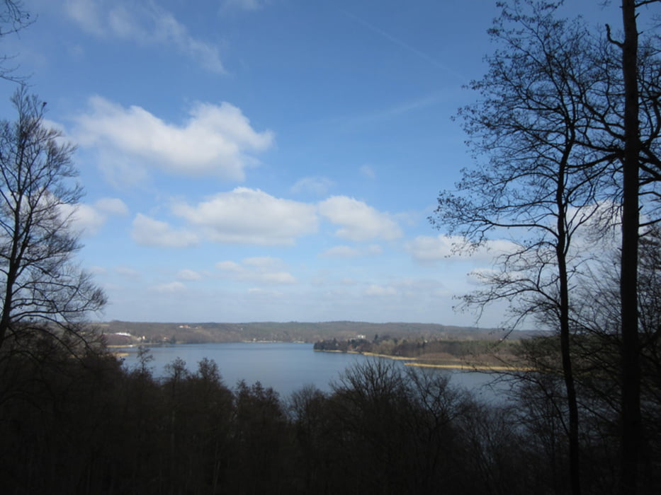
Die Fahrt von Lichtenberg dauert eine halbe Stunde. Vom Bahnhof Müncheberg nordwärts über Waldsieversdorf um den Schermützelsee nach Buckow. Von dort über Dahmsdorf wieder zurück zum Bahnhof Müncheberg.
Die Fahrt von Lichtenberg dauert eine halbe Stunde. Vom Bahnhof Müncheberg nordwärts über Waldsieversdorf um den Schermützelsee nach Buckow. Von dort über Dahmsdorf wieder zurück zum Bahnhof Müncheberg.
Further information at
http://xxrhahn.de/touren/muencheberg-buckow/index.htmlTour gallery
Tour map and elevation profile
Minimum height 2 m
Maximum height 59 m
More about the tour author

|
xxrhahn |
Comments

RB 26 stündlich
GPS tracks
Trackpoints-
GPX / Garmin Map Source (gpx) download
-
TCX / Garmin Training Center® (tcx) download
-
CRS / Garmin Training Center® (crs) download
-
Google Earth (kml) download
-
G7ToWin (g7t) download
-
TTQV (trk) download
-
Overlay (ovl) download
-
Fugawi (txt) download
-
Kompass (DAV) Track (tk) download
-
Track data sheet (pdf) download
-
Original file of the author (gpx) download
More about the tour author
|
|
xxrhahn |
Add to my favorites
Remove from my favorites
Edit tags
Open track
My score
Rate