Login

Forgot your login?

Cookies have to be accepted!
Your browser's cookie functionality is disabled. Please enable this functionality.

Not a member yet?

Register now
Login

Available for registred users only

Log in to use this feature.

Forgot your login?

Cookies have to be accepted!
Your browser's cookie functionality is disabled. Please enable this functionality.

Not a member yet?

Register now
Filter
Categories
Advanced filters
  • Distance (km)
  • Height
Save filters Reset filter

TrackRank

QRCode

Technical data

Distance17,8 km Height952 m Way down915 m Duration03:00 h:m Date25.03.2016
Scores Author Landscape Fun factor Fitness Technique

Statistics

1078 Views 1 Score 201 Downloads 5.00 Average
Rate
  • Track data sheet
  • Directions
  • Downloads

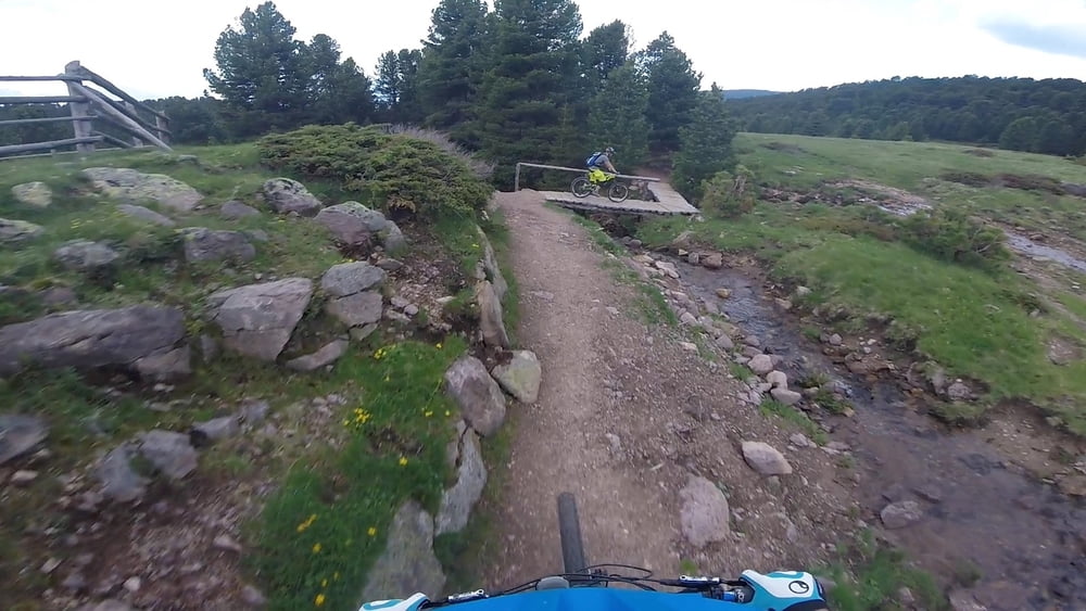
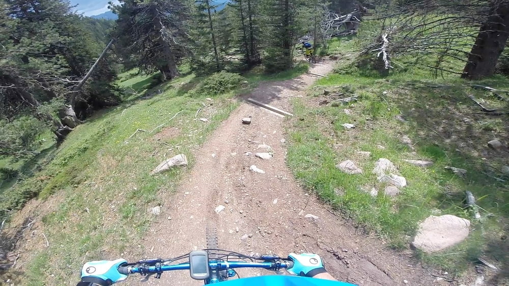
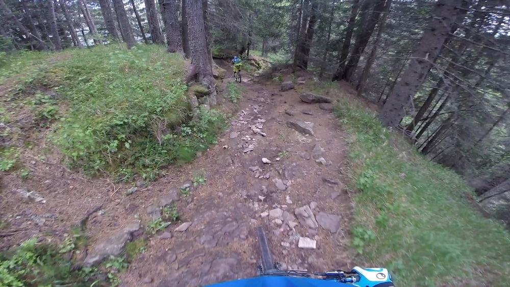
Von der Brögleshütte geht es den 5er durch das Annatal nach St. Ulrich im Grödnertal.

Als Auffahrt hatten wir uns für den Hauptweg von St. Ulrich entschieden (Wege 9, 9A und 10). Anfangs betoniert, später geschottert, durchweg relativ steil aber mit ca. 15% für einen Freerider noch fahrbar.


Further information at

https://youtu.be/9HHXEbNO1yI

Tour gallery

Tour map and elevation profile

  • Open Street Map
  • Google
Minimum height 1325 m Maximum height 2170 m Detailed view

More about the tour author

MTB-Trails
Member since 2016

Send private message

Comments

Start in Sankt Ulrich im Grödnertal (Ortisei).

GPS tracks

Trackpoints
  • GPX / Garmin Map Source (gpx) download
  • TCX / Garmin Training Center® (tcx) download
  • CRS / Garmin Training Center® (crs) download
  • Google Earth (kml) download
  • G7ToWin (g7t) download
  • TTQV (trk) download
  • Overlay (ovl) download
  • Fugawi (txt) download
  • Kompass (DAV) Track (tk) download
  • Track data sheet (pdf) download
  • Original file of the author (gpx) download

More about the tour author

MTB-Trails
Member since 2016

Send private message
Share track
Add to my favorites
Remove from my favorites
Edit tags
My score
Rate
Track: MTB-Trails - Dolomiten - Annataltrail (5er)
Type: Mountain bike
Distance: 17,8 km
Evaluated on:
Duration:
Day(s)
Hour(s)
Minute(s)
Score: Landscape Fun factor Fitness Technique