

Eisenberger Mountainbike Event
Datum: Sonntag, 17. April 2016
Veranstalter: Radclub MTB Eisenberg
Internet: http://mtb.eisenberg.at
Datum: Sonntag, 17. April 2016
Veranstalter: Radclub MTB Eisenberg
Internet: http://mtb.eisenberg.at
Further information at
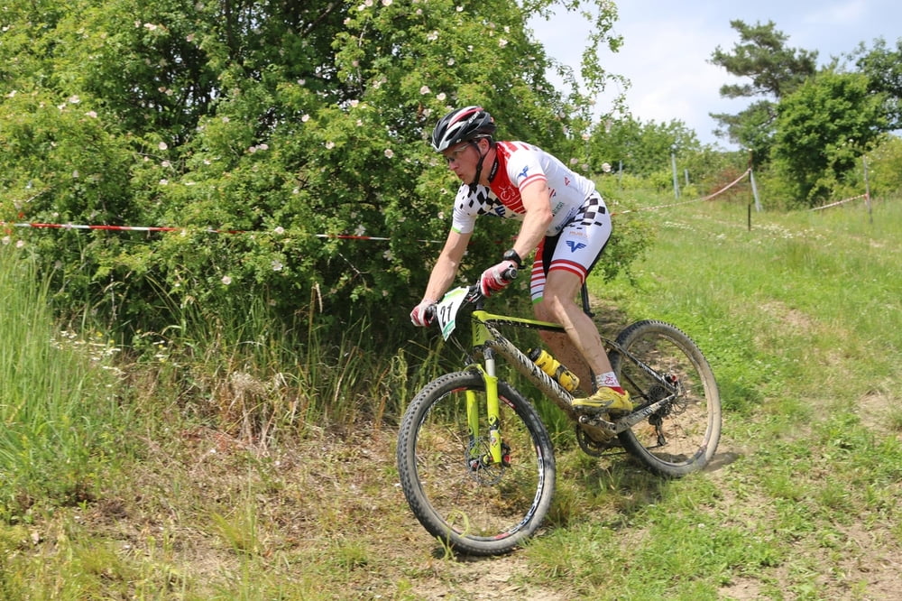
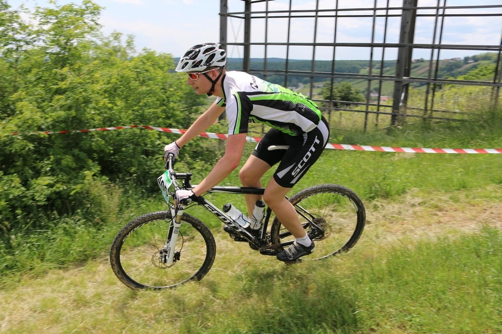
http://mtb.eisenberg.atTour gallery
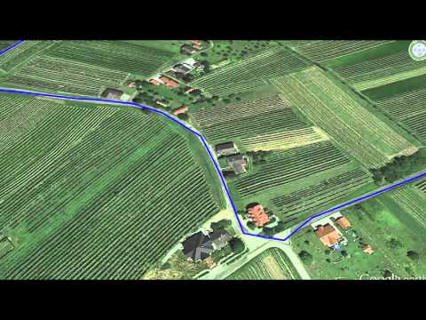
Tour map and elevation profile
Minimum height 224 m
Maximum height 412 m
More about the tour author
|
|
Eisenberg188 |
Comments

A2 - Oberwart - Großpetersdorf - Eisenberg
Start vor der Eisenberg - Halle
GPS tracks
Trackpoints-
GPX / Garmin Map Source (gpx) download
-
TCX / Garmin Training Center® (tcx) download
-
CRS / Garmin Training Center® (crs) download
-
Google Earth (kml) download
-
G7ToWin (g7t) download
-
TTQV (trk) download
-
Overlay (ovl) download
-
Fugawi (txt) download
-
Kompass (DAV) Track (tk) download
-
Track data sheet (pdf) download
-
Original file of the author (gpx) download
More about the tour author
|
|
Eisenberg188 |
Add to my favorites
Remove from my favorites
Edit tags
Open track
My score
Rate