Login

Forgotten password?

Cookies have to be accepted!
Your browser's cookie functionality is disabled. Please enable this functionality.

Not a member yet?

Register now
Login

Available for registred users only

Log in to use this feature.

Forgotten password?

Cookies have to be accepted!
Your browser's cookie functionality is disabled. Please enable this functionality.

Not a member yet?

Register now
Filter
Categories
Advanced filters
  • Distance (km)
  • Height
Save filters Reset filter

TrackRank

QRCode

Technical data

Distance35,2 km Height161 m Way down162 m Duration4 days 23 h Date31.03.2016
Scores Author Landscape Fun factor Fitness Technique

Statistics

192 Views Scores 19 Downloads Average
Rate
  • Track data sheet
  • Directions
  • Downloads
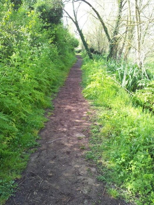
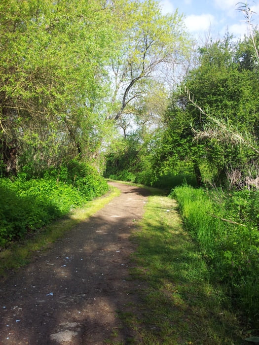
90% sterrato 10 % strada, giro molto suggestivo nei parchi di Roma, dove ci si dimentica di essere in città

Tour gallery

Tour map and elevation profile

  • Open Street Map
  • Google
Minimum height 31 m Maximum height 73 m Detailed view

More about the tour author

ShaRe78
Member since 2016

Send private message

Comments

Interno città


GPS tracks

Trackpoints
  • GPX / Garmin Map Source (gpx) download
  • TCX / Garmin Training Center® (tcx) download
  • CRS / Garmin Training Center® (crs) download
  • Google Earth (kml) download
  • G7ToWin (g7t) download
  • TTQV (trk) download
  • Overlay (ovl) download
  • Fugawi (txt) download
  • Kompass (DAV) Track (tk) download
  • Track data sheet (pdf) download
  • Original file of the author (gpx) download

More about the tour author

ShaRe78
Member since 2016

Send private message
Share track
Add to my favorites
Remove from my favorites
Edit tags
My score
Rate
Track: Parchi di Roma
Type: Mountain bike
Distance: 35,2 km
Evaluated on:
Duration:
Day(s)
Hour(s)
Minute(s)
Score: Landscape Fun factor Fitness Technique