


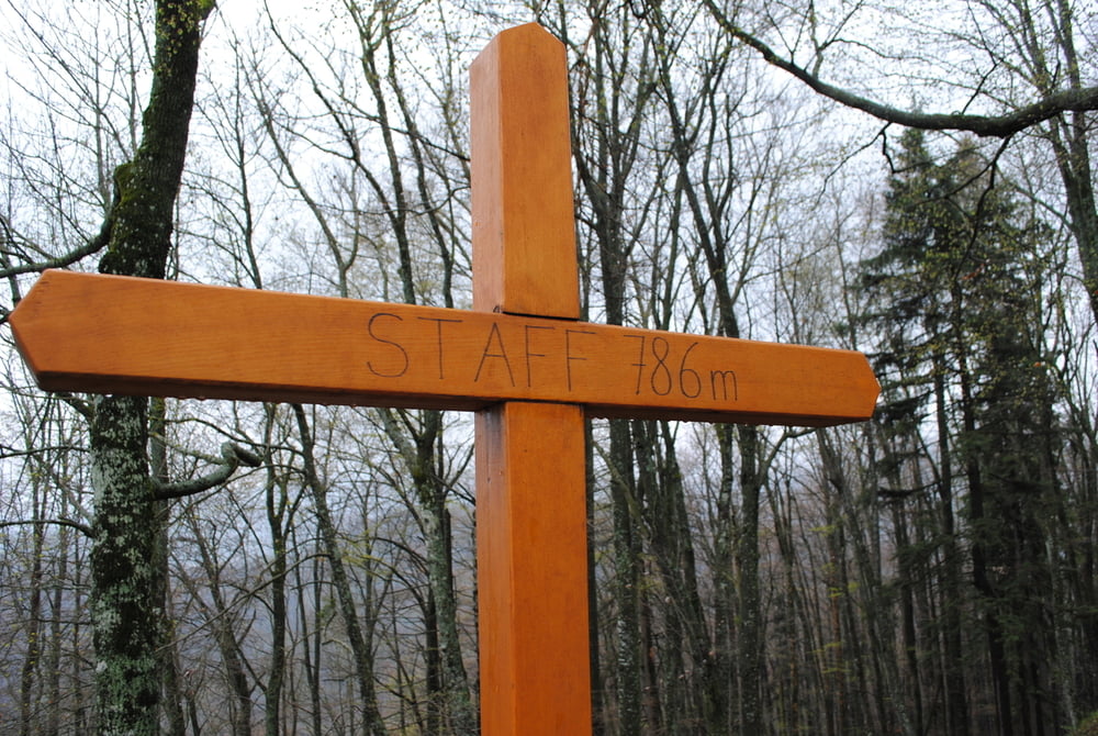
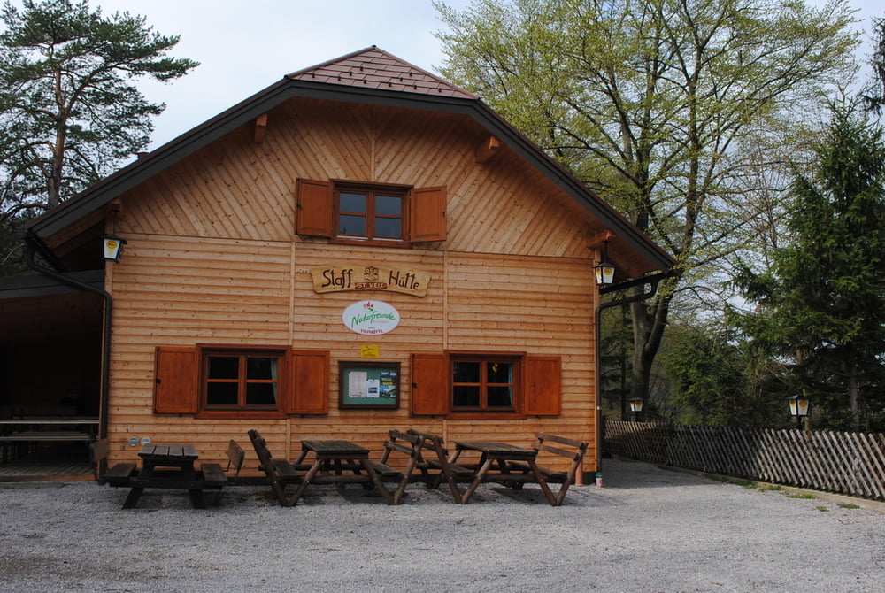
Auto bleibt in St.Veit bei der Ortskirche,Über die Brücke (2.Brücke unterhalb Sportplatz)und auf blauer Markierung durch den Brillergraben und in einigen Keren bis zu einen Sattel.Dort wechseln wir auf rot und es geht um die Staffspitze herum.Nach ca.100m unmarkierter Pfad auf die Staffspitze.Oben schönes kleines Holzkreuz und (zum Glück) eine Rastbank.Auf neuen Pfad wieder zurück zur roten Markierung und weiter zur Staffhütte.Stärkung und auf vielen Keren zurück nach St.Veit an der Gölsen.
Further information at
http://www.naturfreunde-stveit.at/wp/staff/Tour gallery
Tour map and elevation profile
Minimum height 378 m
Maximum height 800 m
More about the tour author
|
|
LeoCheops |
Comments

GPS tracks
Trackpoints-
GPX / Garmin Map Source (gpx) download
-
TCX / Garmin Training Center® (tcx) download
-
CRS / Garmin Training Center® (crs) download
-
Google Earth (kml) download
-
G7ToWin (g7t) download
-
TTQV (trk) download
-
Overlay (ovl) download
-
Fugawi (txt) download
-
Kompass (DAV) Track (tk) download
-
Track data sheet (pdf) download
-
Original file of the author (gpx) download
More about the tour author
|
|
LeoCheops |
Add to my favorites
Remove from my favorites
Edit tags
Open track
My score
Rate