


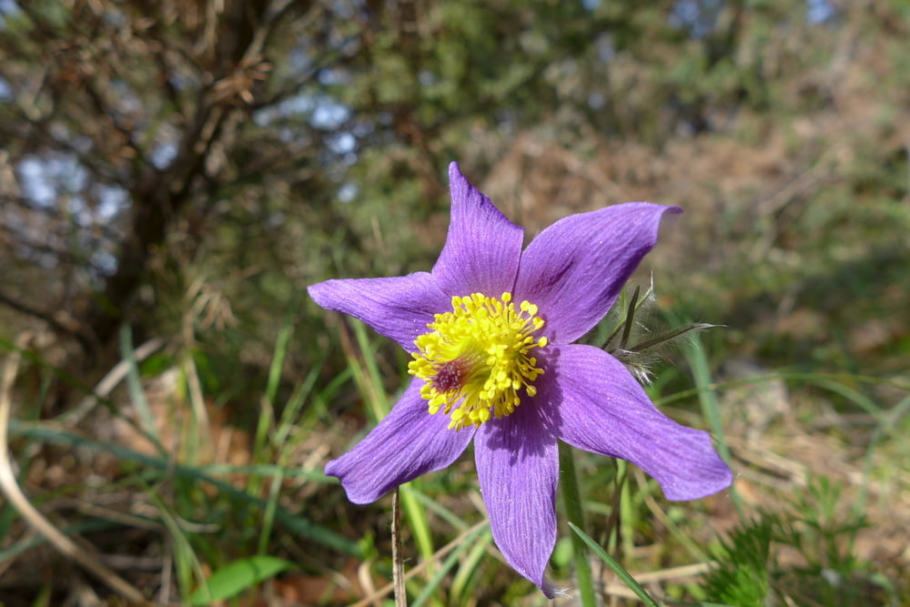
Leichte Wanderung auf guten Pfaden und Wegen. Der Einstieg ist recht steil, aber danach ist der Weg leicht zu laufen. Sehr schöne Aussichten auf Homburg mit Schloss und Main. Idyllische Weinbergwege. Zu Beginn oder am Schluss der Wanderung kann man die Papiermühle besuchen. Auch ein Besuch des Ortes ist lohnenswert.
Further information at
http://www.tourismus-triefenstein.de/wp/markt-triefenstein-2/homburg/Tour gallery


Tour map and elevation profile
Minimum height 181 m
Maximum height 286 m
More about the tour author

|
grenz-pfad-fahrer |
Comments

Von der Mainuferstraße in die Remlinger Straße einbiegen und auf dem Pakplatz der Papiermühle parken.
GPS tracks
Trackpoints-
GPX / Garmin Map Source (gpx) download
-
TCX / Garmin Training Center® (tcx) download
-
CRS / Garmin Training Center® (crs) download
-
Google Earth (kml) download
-
G7ToWin (g7t) download
-
TTQV (trk) download
-
Overlay (ovl) download
-
Fugawi (txt) download
-
Kompass (DAV) Track (tk) download
-
Track data sheet (pdf) download
-
Original file of the author (gpx) download
More about the tour author
|
|
grenz-pfad-fahrer |
Add to my favorites
Remove from my favorites
Edit tags
Open track
My score
Rate