


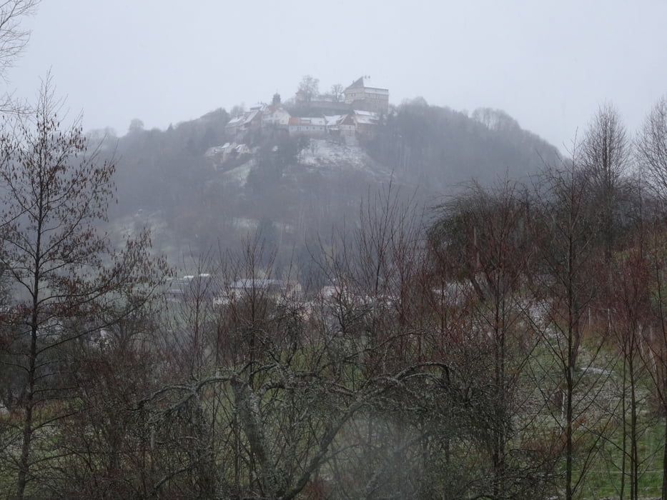
Beginn in Mainhardt an der Steinbühl-Halle. Hier ehemaliges Römerkastell. Vorbei am Römer-Museum hinunter ins Brettachtal und steil hoch nach Gailsbach. Vorbei am Pahl-Museum zum Römerturm. Jetzt mehrfach steil hinab, immer direkt dem Limesweg folgend, stets nach Norden bis hinter Neuwirtshaus, wo wir links abbiegen und bald hinunter ins Brettachtal zum gleichnamigen Ort kommen. Auf der gegenüberliegenden Hangseite steil hoch, zum Teil auf Treppen, nach Maienfels. Von hier nach einer kleinen Besichtigungsrunde weiter über Schweizerhof und Kreuzle zum Naturfreundehaus Steinknickle. Durch Neuhütten geht es ins Tal des Finsterroter Sees, den wir auf dem Dachsi-Pfad rechts liegen lassen. Über Ammertsweiler und Dennhof gelangen wir wieder zurück nach Baad. Hier folgt der letzte Anstieg hoch nach Mainhardt.
Further information at
http://www.naturpark-sfw.de/Tour gallery


Tour map and elevation profile
Minimum height 297 m
Maximum height 570 m
More about the tour author
|
|
rockydoc |
Comments

Mainhardt an der B 39 Heilbronn - Schwäbisch Hall. Parkplätze an der Steinbühl-Halle oder weiter unten am Freibad.
GPS tracks
Trackpoints-
GPX / Garmin Map Source (gpx) download
-
TCX / Garmin Training Center® (tcx) download
-
CRS / Garmin Training Center® (crs) download
-
Google Earth (kml) download
-
G7ToWin (g7t) download
-
TTQV (trk) download
-
Overlay (ovl) download
-
Fugawi (txt) download
-
Kompass (DAV) Track (tk) download
-
Track data sheet (pdf) download
-
Original file of the author (gpx) download
More about the tour author
|
|
rockydoc |
Add to my favorites
Remove from my favorites
Edit tags
Open track
My score
Rate