


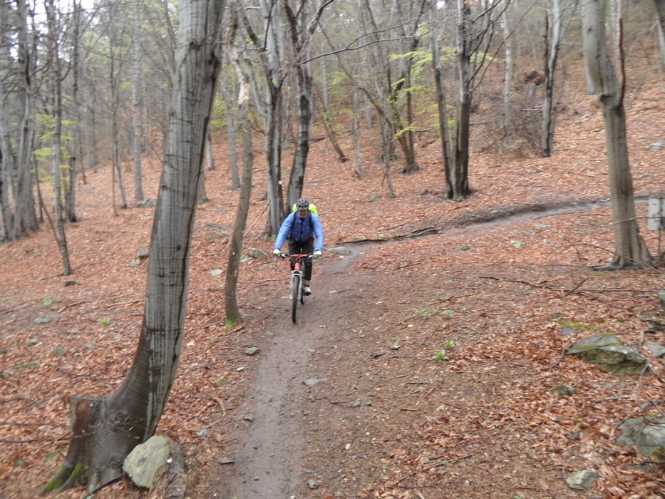
Start in Finale, auf "guter" Strasse über Bar Din zur Natobase. Auf neuem Ingegnere Trail nach Feligno, oben S2 unten S3. In Feligno kann man das das Tal nach Final Borgo / Finale hinausrollen.
Nach Einkehr auf Strasse nach Orco hinauf (230hm).
Dort S1-S2 um den Rocca Nava und zurück nach Orco
(Abbruchmöglichkeit Richtung Finalpina an tiefster Stelle)
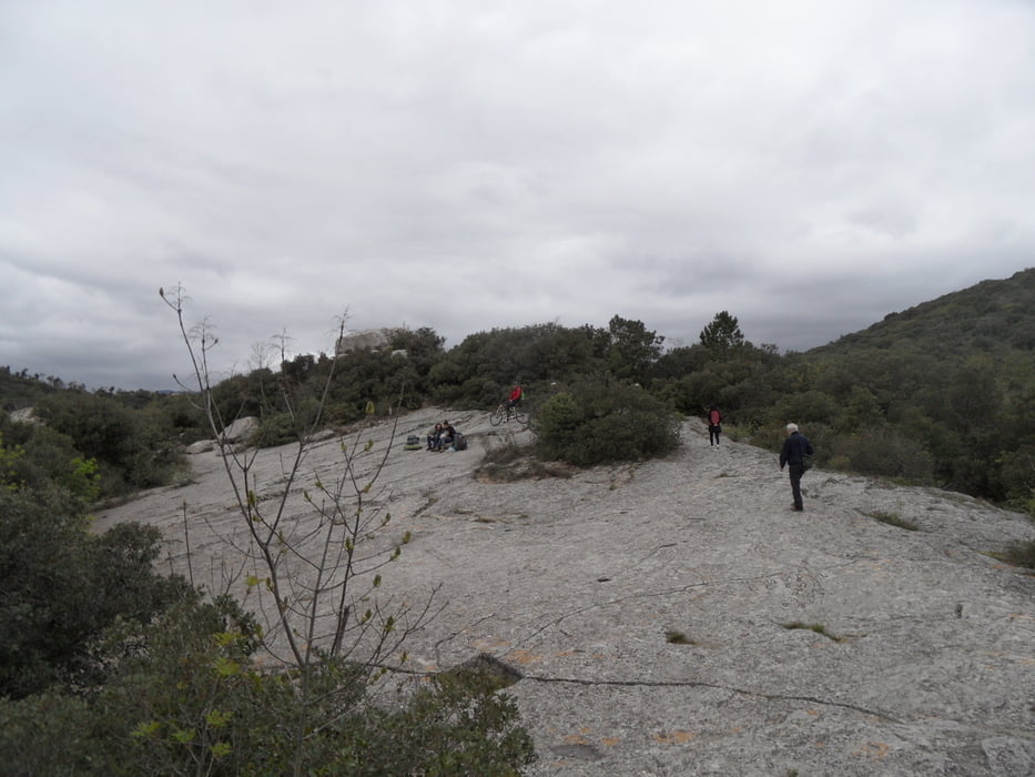
Heimfahrt dann Enduro über Orco Mt. Cucco (90hm streng hochschieben/tragen) und S2-S3 verblockt zurück nach Calvisio. Das ist recht anspruchsvoll (Enduro). Am Mt. Cucco einer der wenigen Aussichtspunkte, danach kommen 2 große Steinplatten die recht einladend sind.
Auffahrt war mit Hotelbus San Giuseppe (10Euro für Gäste 2016), kürzere/andere Auffahrten siehe andere Touren zur Natobase.
Tour gallery

Tour map and elevation profile
Minimum height 9 m
Maximum height 1012 m
More about the tour author
|
|
skyhopper |
Comments

Start am Hotel San Giuseppe
GPS tracks
Trackpoints-
GPX / Garmin Map Source (gpx) download
-
TCX / Garmin Training Center® (tcx) download
-
CRS / Garmin Training Center® (crs) download
-
Google Earth (kml) download
-
G7ToWin (g7t) download
-
TTQV (trk) download
-
Overlay (ovl) download
-
Fugawi (txt) download
-
Kompass (DAV) Track (tk) download
-
Track data sheet (pdf) download
-
Original file of the author (gpx) download
More about the tour author
|
|
skyhopper |
Add to my favorites
Remove from my favorites
Edit tags
Open track
My score
Rate