


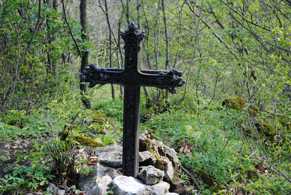
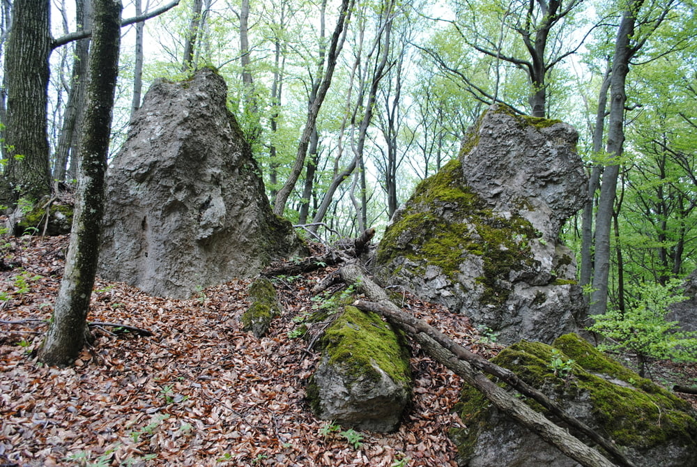
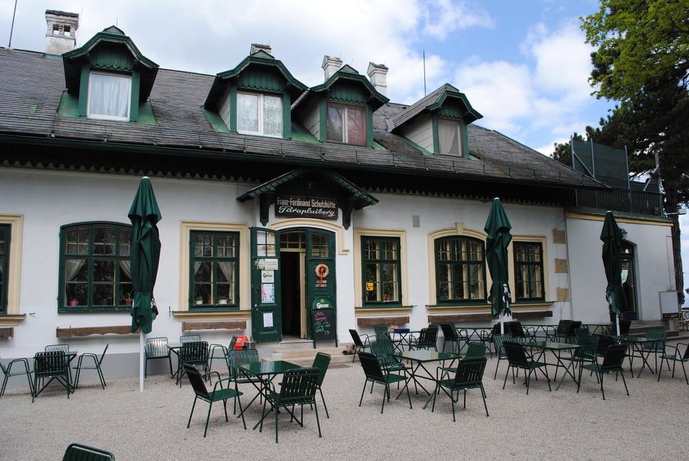
Start Parkplatz Gießhübl.Gemächlich ohne wesentliche Steigungen bis GH.Seewiese.Über nichtmarkierten Weg(gleich zu Beginn des Forstweges nach Kaltenleutgeben)abzweigung zu den mythischen Plätzen des Geißbergkreuzes und der Keltensteine.Da Dienstag bei allen Hütten am Weg Ruhetag war musste ich den weiten Weg bis zum Franz Ferdinand Haus machen.Nach kräftigen Essen den weiten weg zurück nach Gießhübl.Daher Dienstage vermeiden:-))
Tour gallery
Tour map and elevation profile
Minimum height 384 m
Maximum height 612 m
More about the tour author
|
|
LeoCheops |
Comments

GPS tracks
Trackpoints-
GPX / Garmin Map Source (gpx) download
-
TCX / Garmin Training Center® (tcx) download
-
CRS / Garmin Training Center® (crs) download
-
Google Earth (kml) download
-
G7ToWin (g7t) download
-
TTQV (trk) download
-
Overlay (ovl) download
-
Fugawi (txt) download
-
Kompass (DAV) Track (tk) download
-
Track data sheet (pdf) download
-
Original file of the author (gpx) download
More about the tour author
|
|
LeoCheops |
Add to my favorites
Remove from my favorites
Edit tags
Open track
My score
Rate