
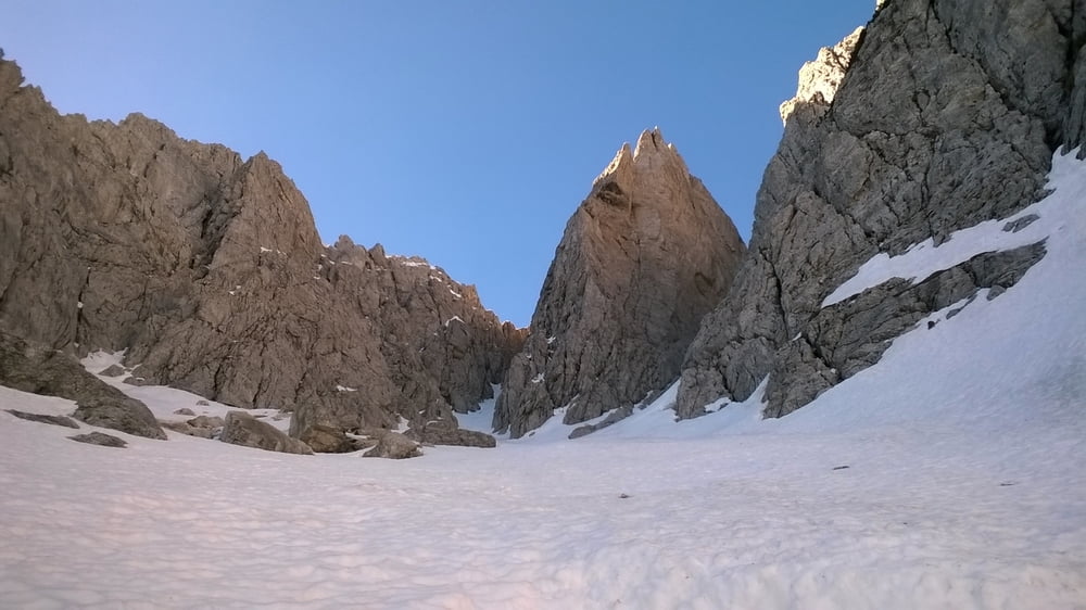

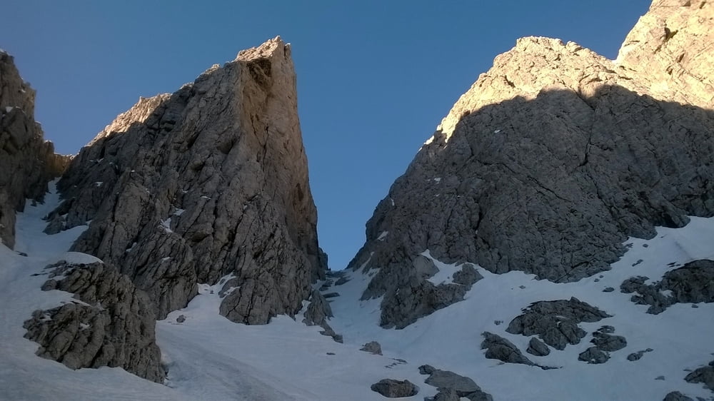
Dal termine della strada salire a sinistra su spazi aperti fino a guadagnare la sponda opposta del torrente. Ora a destra sotto le poderosi pareti del Gleris raggiungere il centro del vallone riconoscibile generalmente dai resti di grandi valanghe, sino ad aggirare sulla sinistra un grosso avancorpo roccioso. Da qui con pendenze sempre più sostenute si arriva nella parte alta dell’itinerario dove potrà essere vista per la prima volta la F.lla del Forame. Ora a piedi o con gli sci a seconda delle condizioni salire completamente a sinistra (c’è anche un’altro canale a destra ma molto più ripido) per lo stretto e ripido canale fino all’uscita. Discesa: Per l’itinerario di salita. Attenzione nei primi 200 m. (pendenza circa 40° O.S.A.).
Further information at
https://goo.gl/photos/hDJpMHRALpk3AvwY7Tour gallery
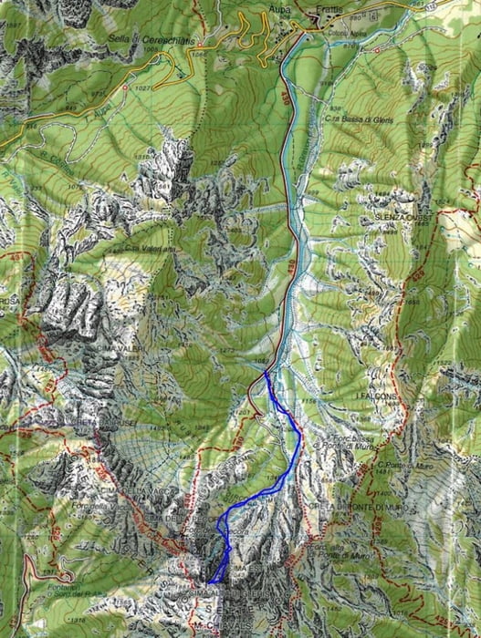

Tour map and elevation profile
Minimum height 1111 m
Maximum height 1978 m
More about the tour author

|
dalle6161 |
Comments

GPS tracks
Trackpoints-
GPX / Garmin Map Source (gpx) download
-
TCX / Garmin Training Center® (tcx) download
-
CRS / Garmin Training Center® (crs) download
-
Google Earth (kml) download
-
G7ToWin (g7t) download
-
TTQV (trk) download
-
Overlay (ovl) download
-
Fugawi (txt) download
-
Kompass (DAV) Track (tk) download
-
Track data sheet (pdf) download
-
Original file of the author (gpx) download
More about the tour author
|
|
dalle6161 |
Add to my favorites
Remove from my favorites
Edit tags
Open track
My score
Rate