Login

Forgot your login?

Cookies have to be accepted!
Your browser's cookie functionality is disabled. Please enable this functionality.

Not a member yet?

Register now
Login

Available for registred users only

Log in to use this feature.

Forgot your login?

Cookies have to be accepted!
Your browser's cookie functionality is disabled. Please enable this functionality.

Not a member yet?

Register now
Filter
Categories
Advanced filters
  • Distance (km)
  • Height
Save filters Reset filter

TrackRank

QRCode

Technical data

Distance44,1 km Height1066 m Way down1043 m Duration04:00 h:m Date23.04.2016
Scores Author Landscape Fun factor Fitness Technique

Statistics

4194 Views 1 Score 313 Downloads 4.00 Average
Rate
  • Track data sheet
  • Directions
  • Downloads

Auffahrt ab Oberau nach Farchant und rauf zur Enningalm (Weg 256).

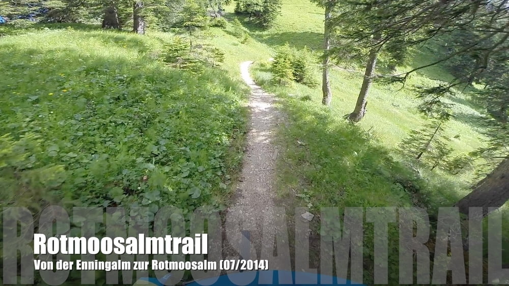
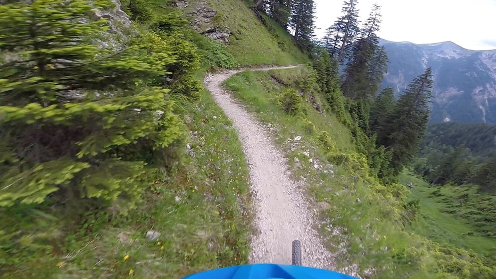
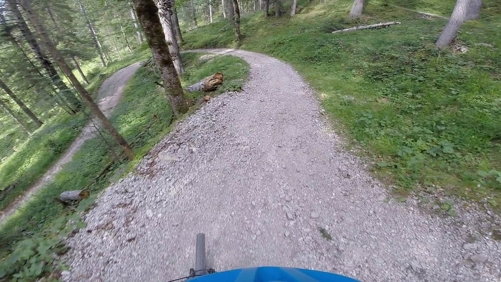
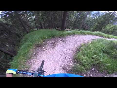
Dort beginnt der Trail (immer noch Weg 256) hinunter zur Rotmoosalm. Sehr einfacher Schotterweg mit vielen Spitzkehren und ohne technische Herausforderungen.

Ab der Rotmoosalm dann gemütliches Zurückrollen über Ettal nach Oberau.

Further information at

https://youtu.be/-dXF60XE0oE

Tour gallery

Tour map and elevation profile

  • Open Street Map
  • Google
Minimum height 659 m Maximum height 1548 m Detailed view

More about the tour author

MTB-Trails
Member since 2016

Send private message

Comments

denis0082 on 06.09.2016

4/5 Sterne

Schöne Tour mit recht knackigem Anstieg der dafür mit einem super flowigen, leider etwas kurzen Trail belohnt wird. Rest der Abfahrt dann schnell aber relaxt auf Forststraße. Die Fahrt durch Ettal zurück zum Startpunkt ist eher Pflichtübung als Genuss aber eine schönere Strecke zurück gibt's vermutlich nicht.
Start- und Endpunkt ist Oberau.

GPS tracks

Trackpoints
  • GPX / Garmin Map Source (gpx) download
  • TCX / Garmin Training Center® (tcx) download
  • CRS / Garmin Training Center® (crs) download
  • Google Earth (kml) download
  • G7ToWin (g7t) download
  • TTQV (trk) download
  • Overlay (ovl) download
  • Fugawi (txt) download
  • Kompass (DAV) Track (tk) download
  • Track data sheet (pdf) download
  • Original file of the author (gpx) download

More about the tour author

MTB-Trails
Member since 2016

Send private message
Share track
Add to my favorites
Remove from my favorites
Edit tags
My score
Rate
Track: MTB-Trails - Garmisch-Partenkirchen - Rotmoosalmtrail
Type: Mountain bike
Distance: 44,1 km
Evaluated on:
Duration:
Day(s)
Hour(s)
Minute(s)
Score: Landscape Fun factor Fitness Technique