Login

Forgot your login?

Cookies have to be accepted!
Your browser's cookie functionality is disabled. Please enable this functionality.

Not a member yet?

Register now
Login

Available for registred users only

Log in to use this feature.

Forgot your login?

Cookies have to be accepted!
Your browser's cookie functionality is disabled. Please enable this functionality.

Not a member yet?

Register now
Filter
Categories
Advanced filters
  • Distance (km)
  • Height
Save filters Reset filter

TrackRank

QRCode

Technical data

Distance13,8 km Height61 m Way down34 m Duration03:35 h:m Date30.04.2016
Scores Author Landscape Fun factor Fitness Technique

Statistics

816 Views Scores 40 Downloads Average
Rate
  • Track data sheet
  • Directions
  • Downloads
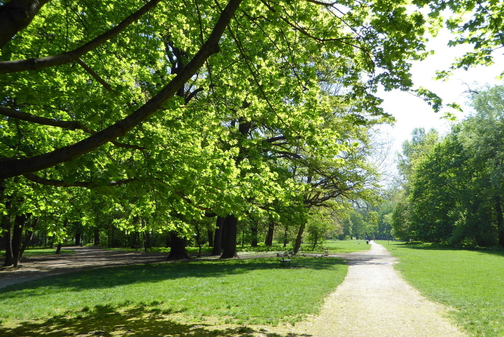
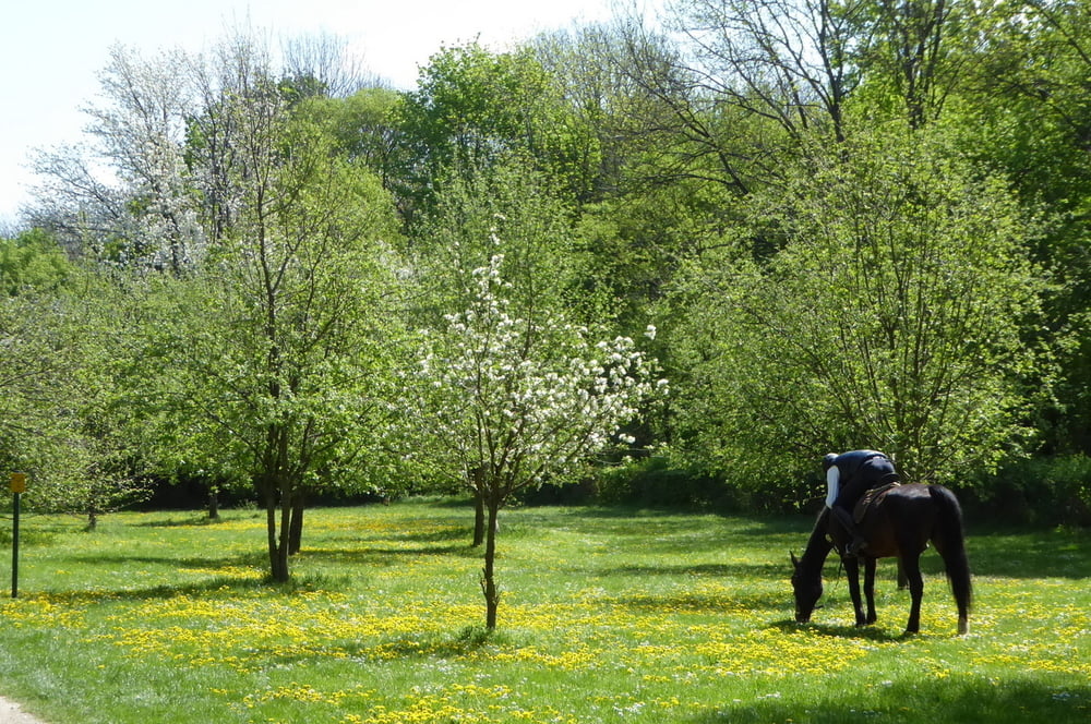
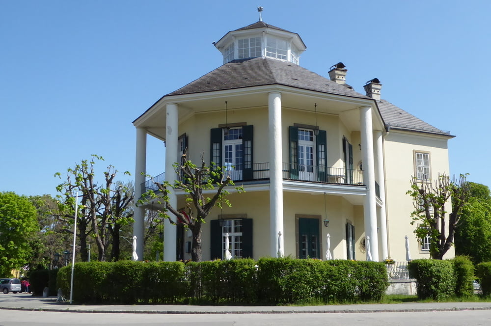
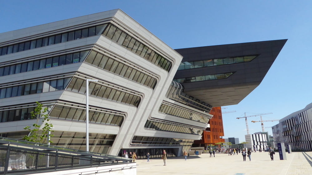
Von der U-Bahnstation Praterstern gehen wir zur Hauptallee über das Lusthaus und später bis zur 2013 eingeweihten hochmodernen Wirtschaftsuniversität mit architektonischen Highlights (neben der Wiener Messe)

Further information at

https://www.wien.gv.at/umwelt/wald/freizeit/wandern/wege/wanderweg9.html

Tour gallery

Tour map and elevation profile

  • Open Street Map
  • Google
Minimum height 165 m Maximum height 198 m Detailed view

More about the tour author

horst1508
Member since 2012

Send private message

Comments

s.o.

GPS tracks

Trackpoints
  • GPX / Garmin Map Source (gpx) download
  • TCX / Garmin Training Center® (tcx) download
  • CRS / Garmin Training Center® (crs) download
  • Google Earth (kml) download
  • G7ToWin (g7t) download
  • TTQV (trk) download
  • Overlay (ovl) download
  • Fugawi (txt) download
  • Kompass (DAV) Track (tk) download
  • Track data sheet (pdf) download
  • Original file of the author (gpx) download

More about the tour author

horst1508
Member since 2012

Send private message
Share track
Add to my favorites
Remove from my favorites
Edit tags
My score
Rate
Track: Wien Prater Stadtwanderweg 9
Type: Hiking
Distance: 13,8 km
Evaluated on:
Duration:
Day(s)
Hour(s)
Minute(s)
Score: Landscape Fun factor Fitness Technique