


Volkswandertag. Während ich zwischen Sachsenhausen und der Zühlsdorfer Mühle mutterseelenallein unterwegs war, war an der Briese fast schon Gedränge.
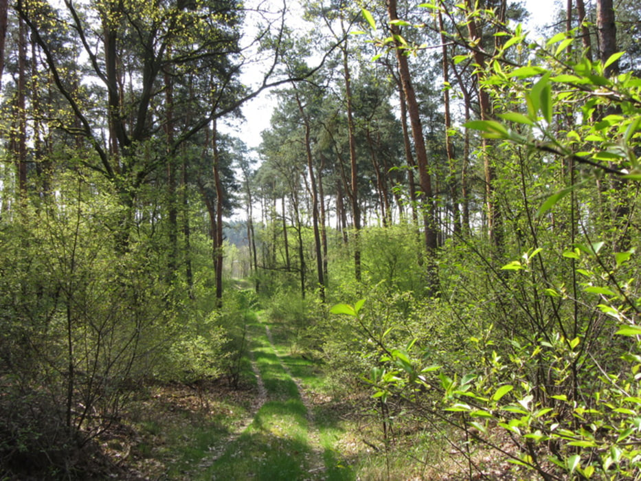
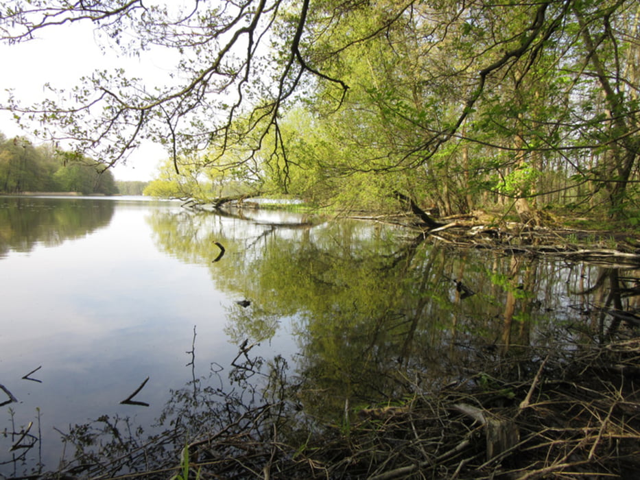
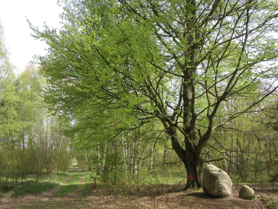
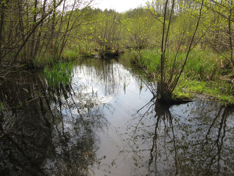
Der Weg führte mich vom Bahnhof Sachsenhausen Richtung Wensickendorf, dann südlich durchs idyllische Briesetal. Die Brandenburger Wälder bieten die eine oder andere Überraschung, interessanter ist es aber schon entlang der Briese.
Der Weg führte mich vom Bahnhof Sachsenhausen Richtung Wensickendorf, dann südlich durchs idyllische Briesetal. Die Brandenburger Wälder bieten die eine oder andere Überraschung, interessanter ist es aber schon entlang der Briese.
Further information at
http://www.xxrhahn.de/touren/briesetal/index.htmlTour gallery
Tour map and elevation profile
Minimum height 64 m
Maximum height 165 m
More about the tour author

|
xxrhahn |
Comments

Anfahrt mir S1 bis Oranienburg, von dort weiter mit der Regionalbahn eine Station bis Sachsenhausen (stündlich)
zurück mit der S-Bahn ab Birkenwerder
GPS tracks
Trackpoints-
GPX / Garmin Map Source (gpx) download
-
TCX / Garmin Training Center® (tcx) download
-
CRS / Garmin Training Center® (crs) download
-
Google Earth (kml) download
-
G7ToWin (g7t) download
-
TTQV (trk) download
-
Overlay (ovl) download
-
Fugawi (txt) download
-
Kompass (DAV) Track (tk) download
-
Track data sheet (pdf) download
-
Original file of the author (gpx) download
More about the tour author
|
|
xxrhahn |
Add to my favorites
Remove from my favorites
Edit tags
Open track
My score
Rate