


Für die Prignitz war besseres Wetter als für den Rest Brandenburgs vorhergesagt. Warum nicht mal dorthin. Der RE2 braucht nur anderthalb Stunden.
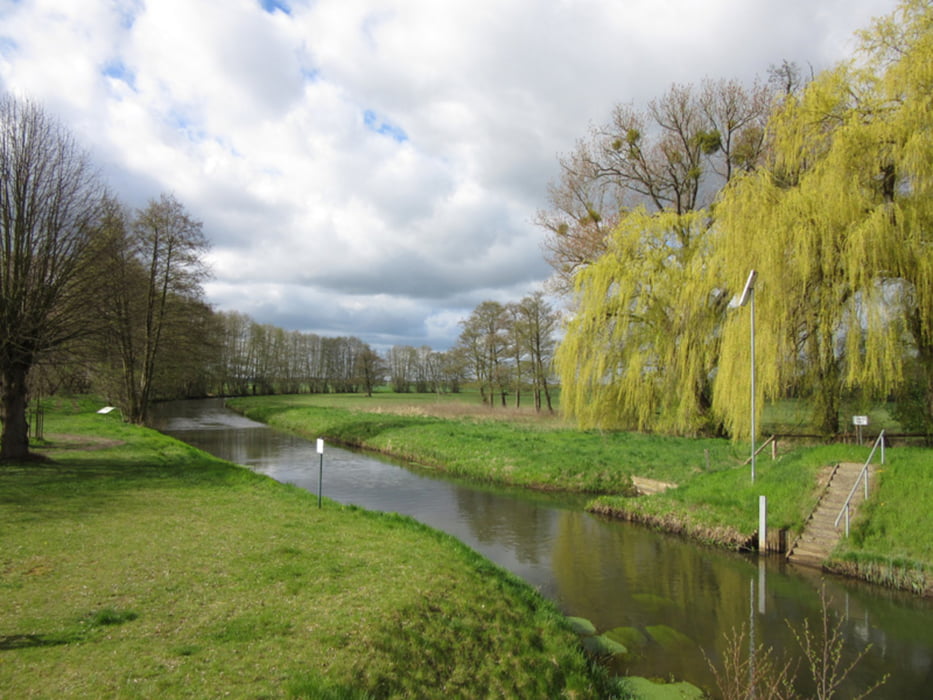
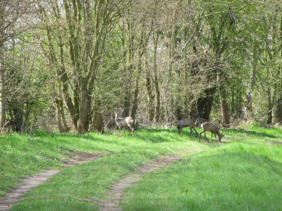
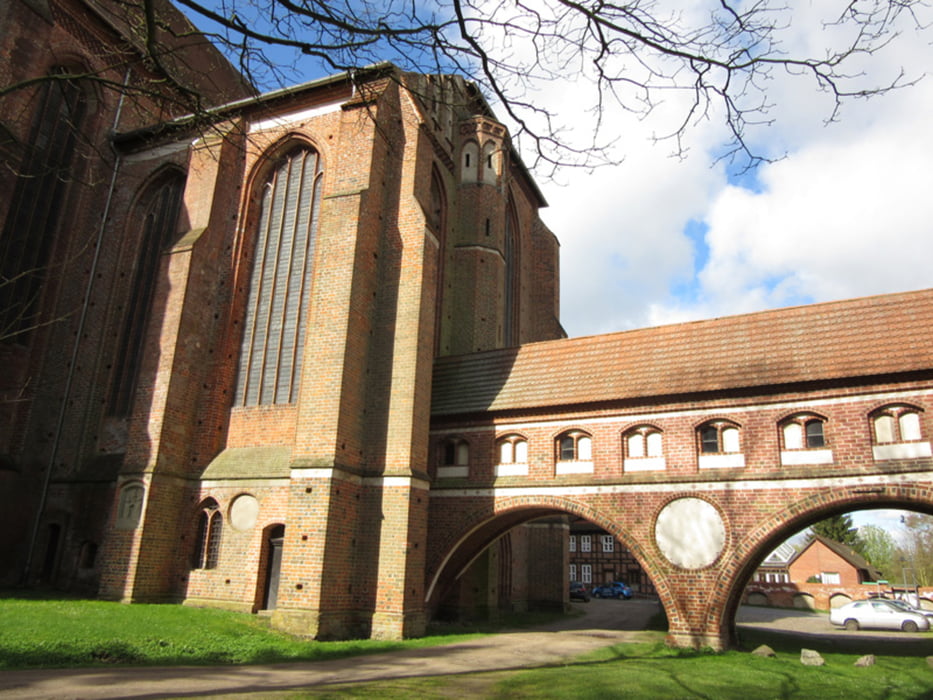
Im wesentlichen bin ich dem Karthane-Rundweg gefolgt. Er führt von Bad Wilsnack entlang der Karthane, biegt dann ins Storchendorf Rühstädt ab. Weiter Richtung Elbdeich und darauf entlang, noch mal kurz über die Karthane und dann durch Wälder und Wiesen zurück nach Bad Wilsnack.
Im wesentlichen bin ich dem Karthane-Rundweg gefolgt. Er führt von Bad Wilsnack entlang der Karthane, biegt dann ins Storchendorf Rühstädt ab. Weiter Richtung Elbdeich und darauf entlang, noch mal kurz über die Karthane und dann durch Wälder und Wiesen zurück nach Bad Wilsnack.
Further information at
http://xxrhahn.de/touren/wilsnack-ruehstaedt/index.htmlTour gallery
Tour map and elevation profile
Minimum height -20 m
Maximum height 29 m
More about the tour author

|
xxrhahn |
Comments

RE2 bis Bhf Bad Wilsnack
GPS tracks
Trackpoints-
GPX / Garmin Map Source (gpx) download
-
TCX / Garmin Training Center® (tcx) download
-
CRS / Garmin Training Center® (crs) download
-
Google Earth (kml) download
-
G7ToWin (g7t) download
-
TTQV (trk) download
-
Overlay (ovl) download
-
Fugawi (txt) download
-
Kompass (DAV) Track (tk) download
-
Track data sheet (pdf) download
-
Original file of the author (gpx) download
More about the tour author
|
|
xxrhahn |
Add to my favorites
Remove from my favorites
Edit tags
Open track
My score
Rate