


Eine sehr schöne Tagestour mit vielen Ausichtspunkten. Die Badener Höhe liegt auf der Strecke und nehmen wir selbstverständlich mit! Es geht relativ gleichmäßig bergauf, vom Herrenwieser Sattel der letzte Anstieg zur Badener Höhe kostet dann noch einmal Kraft! Einkehrmöglichkeiten auf der Strecke: Gasthaus Schwanenwasen, Gasthaus Rote Lache und Gasthaus Nachtigall. Die Abfahrt ist herrlich "flowig" Asphaltanteil ca. 10%.
Further information at
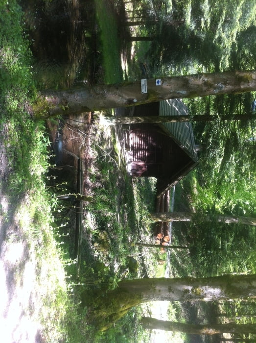
http://www.waldschaenke-schwanenwasen.de/Tour gallery


Tour map and elevation profile
Minimum height 141 m
Maximum height 1025 m
More about the tour author

|
thheinz |
Comments

GPS tracks
Trackpoints-
GPX / Garmin Map Source (gpx) download
-
TCX / Garmin Training Center® (tcx) download
-
CRS / Garmin Training Center® (crs) download
-
Google Earth (kml) download
-
G7ToWin (g7t) download
-
TTQV (trk) download
-
Overlay (ovl) download
-
Fugawi (txt) download
-
Kompass (DAV) Track (tk) download
-
Track data sheet (pdf) download
-
Original file of the author (gpx) download
More about the tour author
|
|
thheinz |
Add to my favorites
Remove from my favorites
Edit tags
Open track
My score
Rate