


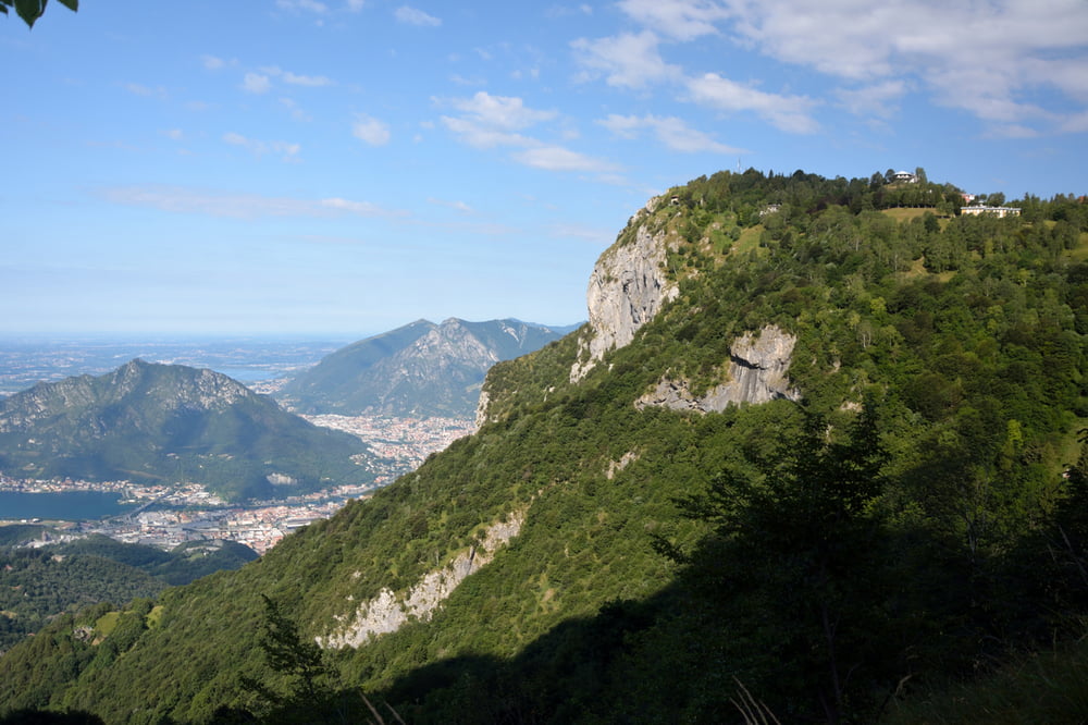
Diesmal war die Tour M7 dran (http://www.muehlviertleralm.at/themen/sommer/mountainbiken/oesterreich/tour/430005604/schoenebener-tour-nr-m7.html). Auch hier gilt das Gleiche, wie bei Tour M6. Ich kürzte sogar den eigentlichen Wendepunkt weg, weil man sich ihm auf einer zweispurigen Landstraße nähert!
Jedenfalls habe ich beschlossen, meine Touren wieder selber zu planen! Die Runde in Markersdorf machte ich noch mit Tobias (100 Hm, 5km).
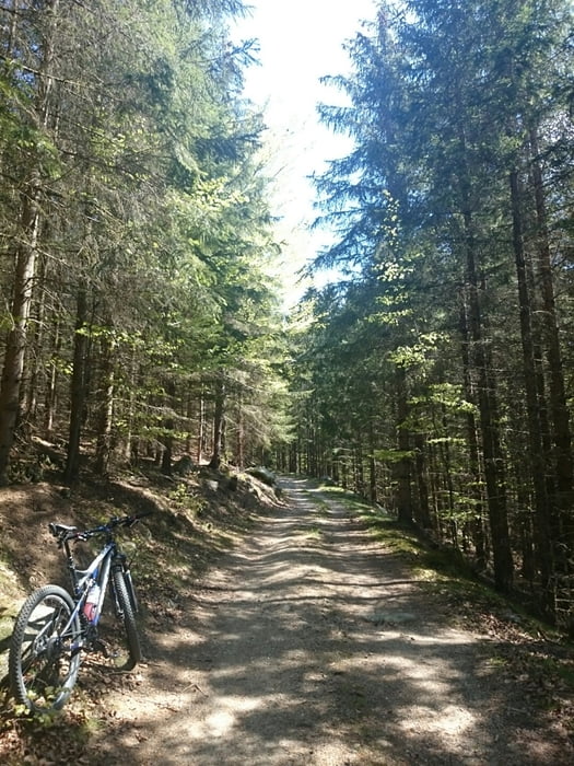
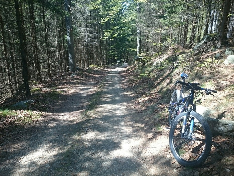
Tour gallery
Tour map and elevation profile
Minimum height 667 m
Maximum height 1054 m
More about the tour author
|
|
rjkas |
Comments

GPS tracks
Trackpoints-
GPX / Garmin Map Source (gpx) download
-
TCX / Garmin Training Center® (tcx) download
-
CRS / Garmin Training Center® (crs) download
-
Google Earth (kml) download
-
G7ToWin (g7t) download
-
TTQV (trk) download
-
Overlay (ovl) download
-
Fugawi (txt) download
-
Kompass (DAV) Track (tk) download
-
Track data sheet (pdf) download
-
Original file of the author (tcx) download
More about the tour author
|
|
rjkas |
Add to my favorites
Remove from my favorites
Edit tags
Open track
My score
Rate