Login

Forgot your login?

Cookies have to be accepted!
Your browser's cookie functionality is disabled. Please enable this functionality.

Not a member yet?

Register now
Login

Available for registred users only

Log in to use this feature.

Forgot your login?

Cookies have to be accepted!
Your browser's cookie functionality is disabled. Please enable this functionality.

Not a member yet?

Register now
Filter
Categories
Advanced filters
  • Distance (km)
  • Height
Save filters Reset filter

TrackRank

QRCode

Technical data

Distance4,6 km Height226 m Way down170 m Duration02:00 h:m Date11.05.2016
Scores Author Landscape Fun factor Fitness Technique

Statistics

454 Views Scores 44 Downloads Average
Rate
  • Track data sheet
  • Directions
  • Downloads

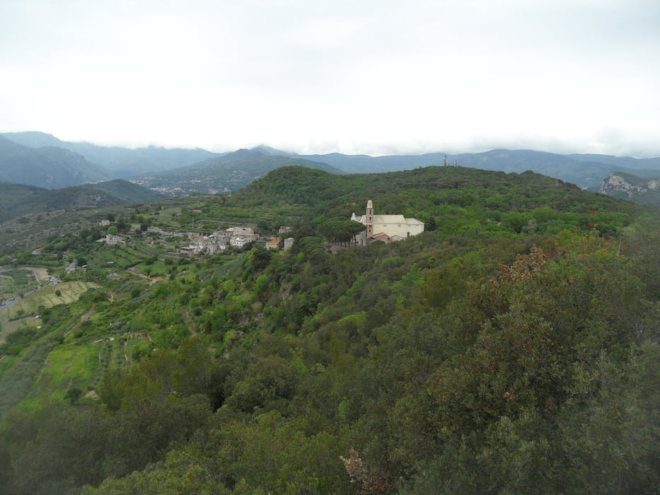
Rundwanderung vom Aussichtsort Verezzi zur Chiesa Di San Martino.

Tolle Aussicht und abwechslungsreiche Strecke.

Von der Kirche zum höchsten Punkt (Aussichtspunkt - Absturzgefahr) ist der Weg schlecht ausgeschnitten. Zurück über Kirche nach Verezzi.

Wer einen schwereren Abstieg vom höchsten Punkt mag, kann von dort dem Weg Richtung Meer folgen (eine kleine Stelle mit Seilsicherung).


Tour gallery

Tour map and elevation profile

  • Open Street Map
  • Google
Minimum height 145 m Maximum height 298 m Detailed view

More about the tour author

skyhopper
Member since 2005

Send private message

Comments

Parken in Verezzi.


GPS tracks

Trackpoints
  • GPX / Garmin Map Source (gpx) download
  • TCX / Garmin Training Center® (tcx) download
  • CRS / Garmin Training Center® (crs) download
  • Google Earth (kml) download
  • G7ToWin (g7t) download
  • TTQV (trk) download
  • Overlay (ovl) download
  • Fugawi (txt) download
  • Kompass (DAV) Track (tk) download
  • Track data sheet (pdf) download
  • Original file of the author (gpx) download

More about the tour author

skyhopper
Member since 2005

Send private message
Share track
Add to my favorites
Remove from my favorites
Edit tags
My score
Rate
Track: Verezzi Wanderung Chiesa Di San Martino 1
Type: Hiking
Distance: 4,6 km
Evaluated on:
Duration:
Day(s)
Hour(s)
Minute(s)
Score: Landscape Fun factor Fitness Technique