


Tour gallery
Tour map and elevation profile
Minimum height 120 m
Maximum height 607 m
More about the tour author
|
|
KD250761 |
Comments
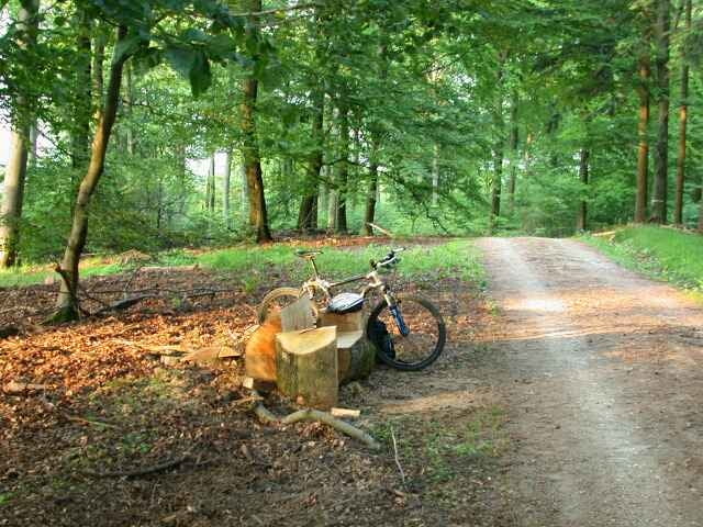
Die Tour beginnt im Kellerskopfweg (ca. 50m nach der Einbiegung). Diesen erreicht man, wenn man von Bierstadt kommend die Abfahrt Naurod abfährt und sich dann sofort wieder links Richtung Rambach hält. Man sieht dann nach ca. 300m ein Schild "Kellerskopf" das den Weg zum Restaurant Kellerskopf weist.
Man kann auch von Rambach kommen und Richtung Naurod fahren. In diesem Fall biegt man kurz vor der Auffahrt auf die Bundesstraße links ab Richtung "Kellerskopf".
Man kann auch von Rambach kommen und Richtung Naurod fahren. In diesem Fall biegt man kurz vor der Auffahrt auf die Bundesstraße links ab Richtung "Kellerskopf".
GPS tracks
Trackpoints-
GPX / Garmin Map Source (gpx) download
-
TCX / Garmin Training Center® (tcx) download
-
CRS / Garmin Training Center® (crs) download
-
Google Earth (kml) download
-
G7ToWin (g7t) download
-
TTQV (trk) download
-
Overlay (ovl) download
-
Fugawi (txt) download
-
Kompass (DAV) Track (tk) download
-
Track data sheet (pdf) download
-
Original file of the author (g7t) download
More about the tour author
|
|
KD250761 |
Add to my favorites
Remove from my favorites
Edit tags
Open track
My score
Rate
Schöne Tour
eine schöne Tour hast du da zusammengestellt. Auch wenn ich nicht auf die 1700HM gekommen bin (Meine Garmin Geräte sagen knapp 1400HM).
Trotzdem danke fürs Bereitstellen