


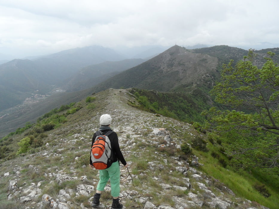
Wanderung auf den Mt. Pesalto, zurück durch das Flußtal
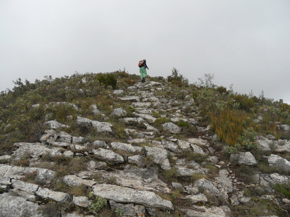
hinauf recht steil, etwas links vom Einstieg (auf Berg geschaut) geht es etwas weniger steil hoch.
Von unten anfangs durch Buschland, nach oben karstiger Bergrücken.
Hinunter anfangs durch ein recht wildes Flußtal mir wilder Schlucht. Als Motocrossstrecke verwendet.
Weitgehend markiert, aber teilweise schlecht zu sehen wenn keine Sicht. Bei Nässe streckenweise recht rutschig.
Tour gallery


Tour map and elevation profile
Minimum height 154 m
Maximum height 682 m
More about the tour author
|
|
skyhopper |
Comments

Parken an geteerter Strasse oberhalb Ceriale (Wegpunkt)
GPS tracks
Trackpoints-
GPX / Garmin Map Source (gpx) download
-
TCX / Garmin Training Center® (tcx) download
-
CRS / Garmin Training Center® (crs) download
-
Google Earth (kml) download
-
G7ToWin (g7t) download
-
TTQV (trk) download
-
Overlay (ovl) download
-
Fugawi (txt) download
-
Kompass (DAV) Track (tk) download
-
Track data sheet (pdf) download
-
Original file of the author (gpx) download
More about the tour author
|
|
skyhopper |
Add to my favorites
Remove from my favorites
Edit tags
Open track
My score
Rate