


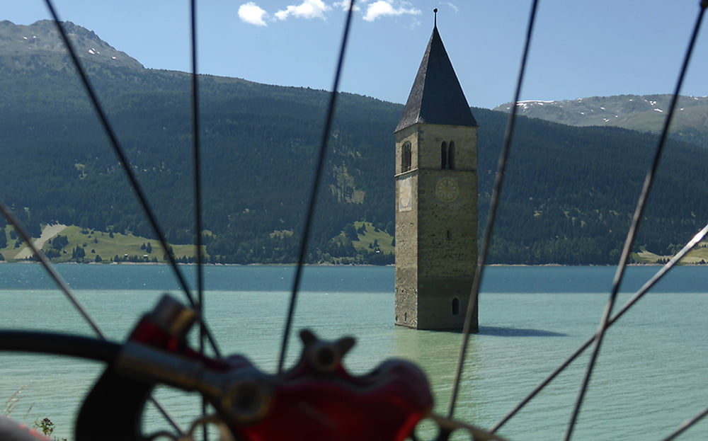
Von Piller gehts am Morgen rauf zur Piller Höhe und gleich runter nach Prutz. Am Inn entlang nach Ried im Oberinntal, Tösens, Pfunds. Über die Kajetansbrücke und nach Altfinstermünz. Vom Sperrfort Nauders rauf nach Nauders, über den Reschenpass zum Reschensee und Graun und St. Valentin. Auf dem Radweg weiter nach Glurns, Prad und Laas nach Goldrain. In Goldrain ist mein zweite Übernachtung.
Einen detailierteren Tourbericht, viele Fotos und genaueren GPS- Download gibt es auf meiner Internetseite www.alpenx-xl.de/touren-alpencross/15/reschenpass.php
Viel Spass beim Planen und Alpencrossen... :-)
Further information at
http://www.alpenx-xl.de/touren-alpencross/15/reschenpass.phpTour gallery


Tour map and elevation profile
Minimum height 658 m
Maximum height 1583 m
More about the tour author
|
|
AlpenX-XL.de |
Comments

GPS tracks
Trackpoints-
GPX / Garmin Map Source (gpx) download
-
TCX / Garmin Training Center® (tcx) download
-
CRS / Garmin Training Center® (crs) download
-
Google Earth (kml) download
-
G7ToWin (g7t) download
-
TTQV (trk) download
-
Overlay (ovl) download
-
Fugawi (txt) download
-
Kompass (DAV) Track (tk) download
-
Track data sheet (pdf) download
-
Original file of the author (gpx) download
More about the tour author
|
|
AlpenX-XL.de |
Add to my favorites
Remove from my favorites
Edit tags
Open track
My score
Rate