


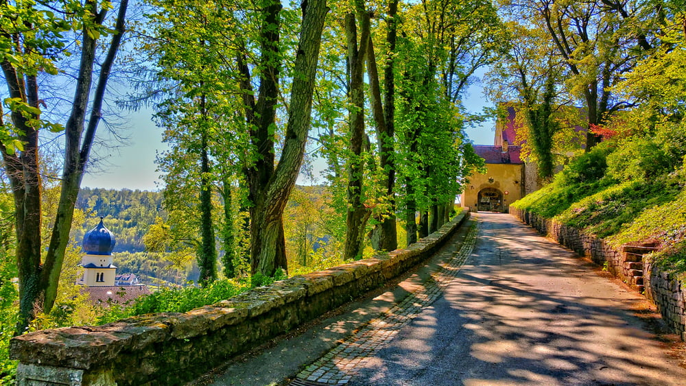
Kapellenweg bei Treuchtlingen (Uhlberg)
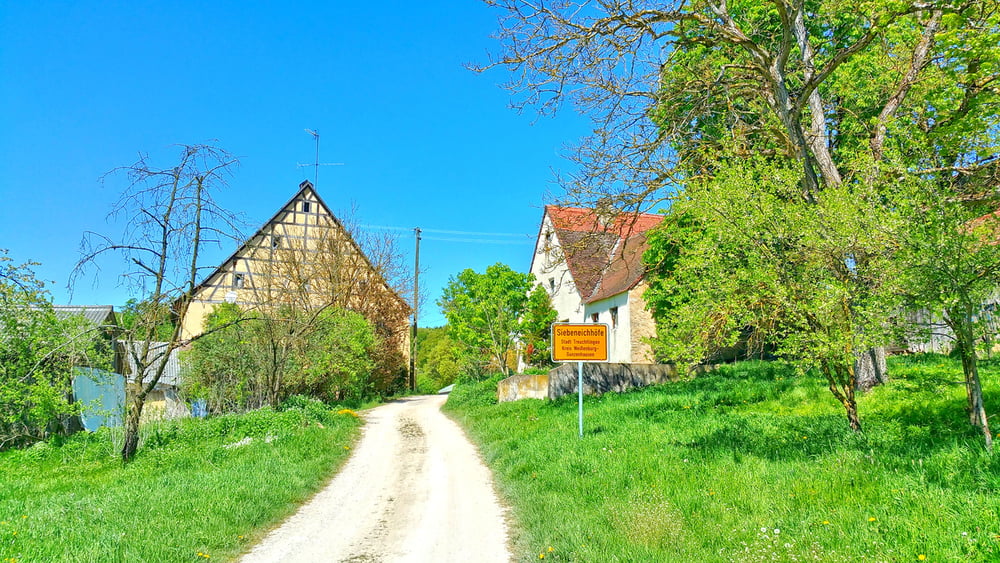
Dieser Rundweg führt auf ruhigen Wegen zur Kapellenruine St. Ulrich. Auf dem Weg gibt es zahlreiche Ruhebänke, jedoch keine Einkehrmöglichkeit.
Die Wegmarkierung war zum Zeitpunkt dieser Wanderung vorhanden und ausreichend.
Die alte Forsthütte am Uhlberg (Ruhebank) steht mittlerweile nicht mehr.
Höhepunkt ist die wildromatische Ruine der St. Ulirchskapelle
Viel Spaß beim Entdecken
Further information at
http://www.treuchtlingen.de/Kapellenweg.422+M55806d45484.0.htmlTour gallery


Tour map and elevation profile
Minimum height 422 m
Maximum height 615 m
More about the tour author
|
|
Rezatfisch |
Comments

Kapellenweg bei Treuchtlingen (Uhlberg)
Dieser Rundweg führt auf ruhigen Wegen zur Kapellenruine St. Ulrich. Auf dem Weg gibt es zahlreiche Ruhebänke, jedoch keine Einkehrmöglichkeit.
Die Wegmarkierung war zum Zeitpunkt dieser Wanderung vorhanden und ausreichend.
Die alte Forsthütte am Uhlberg (Ruhebank) steht mittlerweile nicht mehr.
Höhepunkt ist die wildromatische Ruine der St. Ulirchskapelle
Viel Spaß beim Entdecken
GPS tracks
Trackpoints-
GPX / Garmin Map Source (gpx) download
-
TCX / Garmin Training Center® (tcx) download
-
CRS / Garmin Training Center® (crs) download
-
Google Earth (kml) download
-
G7ToWin (g7t) download
-
TTQV (trk) download
-
Overlay (ovl) download
-
Fugawi (txt) download
-
Kompass (DAV) Track (tk) download
-
Track data sheet (pdf) download
-
Original file of the author (gpx) download
More about the tour author
|
|
Rezatfisch |
Add to my favorites
Remove from my favorites
Edit tags
Open track
My score
Rate