


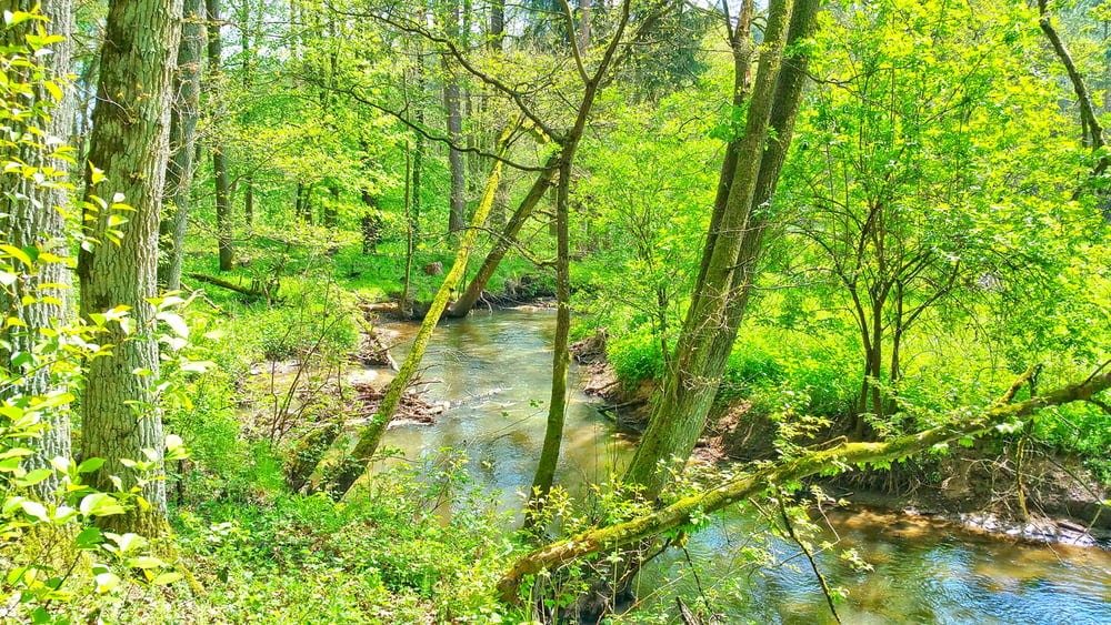
Durch das Auracwww.zumboehm.de/htal bei Rothaurach
Kleiner Spaziergang durch das Aurachtal mit evtl. Einkehr im Gasthof Böhm in Rothaurach.
Parken möglich im Ort von Rothaurach.
Viel Spaß beim Entdecken
Further information at
https://www.landratsamt-roth.de/desktopdefault.aspx/tabid-207/401_read-6275/Tour gallery


Tour map and elevation profile
Minimum height 339 m
Maximum height 394 m
More about the tour author
|
|
Rezatfisch |
Comments

Durch das Auracwww.zumboehm.de/htal bei Rothaurach
Kleiner Spaziergang durch das Aurachtal mit evtl. Einkehr im Gasthof Böhm in Rothaurach.
Parken möglich im Ort von Rothaurach.
Viel Spaß beim Entdecken
GPS tracks
Trackpoints-
GPX / Garmin Map Source (gpx) download
-
TCX / Garmin Training Center® (tcx) download
-
CRS / Garmin Training Center® (crs) download
-
Google Earth (kml) download
-
G7ToWin (g7t) download
-
TTQV (trk) download
-
Overlay (ovl) download
-
Fugawi (txt) download
-
Kompass (DAV) Track (tk) download
-
Track data sheet (pdf) download
-
Original file of the author (gpx) download
More about the tour author
|
|
Rezatfisch |
Add to my favorites
Remove from my favorites
Edit tags
Open track
My score
Rate