


Kleiner Stadtrundgang in Andernach.
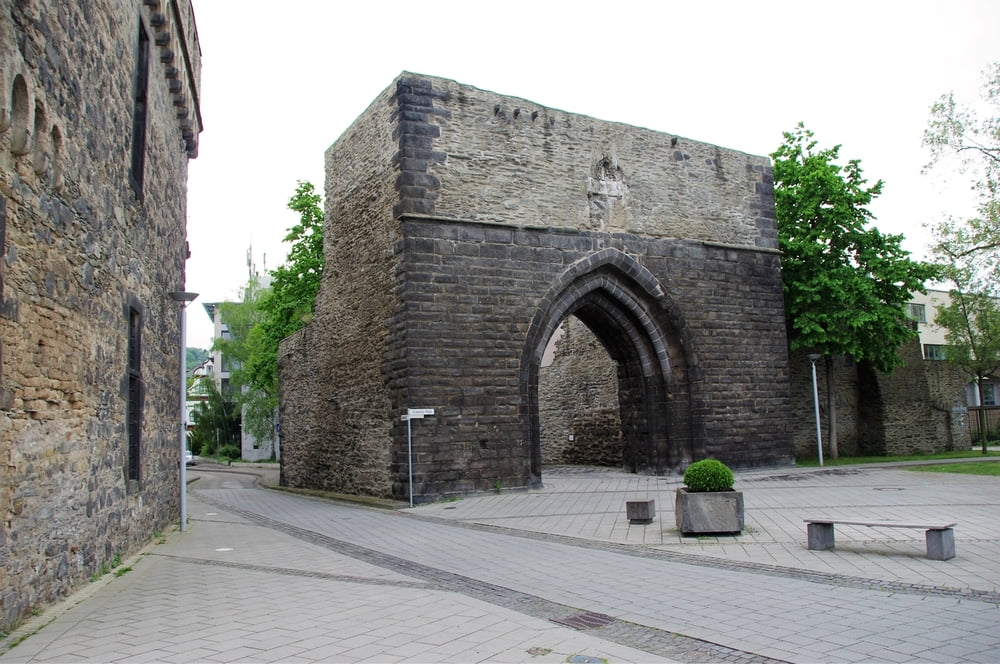
Zum Anfang schaute ich schnell am Rhein vorbei der direkt vor dem Hotel Rhein vorbeifließt. Ich schwenkte dann hoch in die Altstadt die ich nach Osten durchquerte bis ich einen Laden (LIDL) erreichte.
Ich wendete mich dann zum Bahnhof und stellte fest dass hier optisch nicht viel zu holen ist.
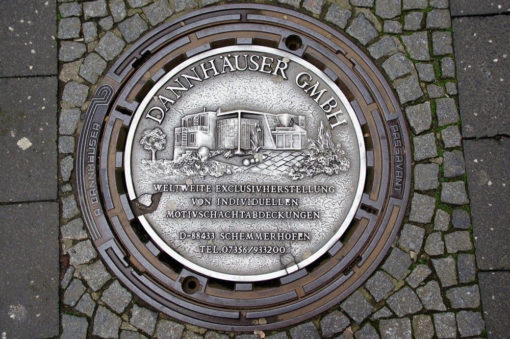
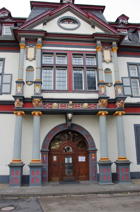
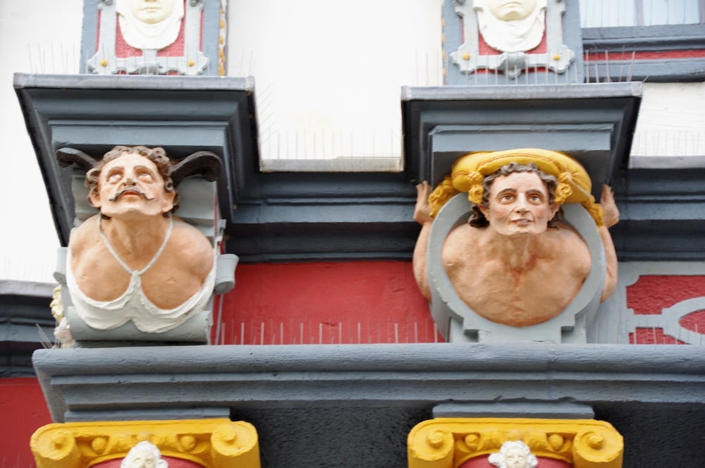
Das sah dann auf dem Rückweg durch die Altstadt gleich wieder viel besser aus.
Ein übersichtliches kleines Städtchen.
Further information at
http://www.andernach.de/de/startseite/startseite.htmlTour gallery
Tour map and elevation profile
Minimum height 63 m
Maximum height 72 m
More about the tour author
|
|
Pheinz |
Comments

Start am Hotel Rhein in der Konrad-Adenauer-Allee.
GPS tracks
Trackpoints-
GPX / Garmin Map Source (gpx) download
-
TCX / Garmin Training Center® (tcx) download
-
CRS / Garmin Training Center® (crs) download
-
Google Earth (kml) download
-
G7ToWin (g7t) download
-
TTQV (trk) download
-
Overlay (ovl) download
-
Fugawi (txt) download
-
Kompass (DAV) Track (tk) download
-
Track data sheet (pdf) download
-
Original file of the author (gpx) download
More about the tour author
|
|
Pheinz |
Add to my favorites
Remove from my favorites
Edit tags
Open track
My score
Rate