Login

Forgot your login?

Cookies have to be accepted!
Your browser's cookie functionality is disabled. Please enable this functionality.

Not a member yet?

Register now
Login

Available for registred users only

Log in to use this feature.

Forgot your login?

Cookies have to be accepted!
Your browser's cookie functionality is disabled. Please enable this functionality.

Not a member yet?

Register now
Filter
Categories
Advanced filters
  • Distance (km)
  • Height
Save filters Reset filter

TrackRank

QRCode

Technical data

Distance456,5 km Height13814 m Way down14553 m Duration7 days 0 h Date17.05.2016
Scores Author Landscape Fun factor Fitness Technique

Statistics

686 Views 1 Score 65 Downloads 5.00 Average
Rate
  • Track data sheet
  • Directions
  • Downloads

Ja Gruetzi woll!

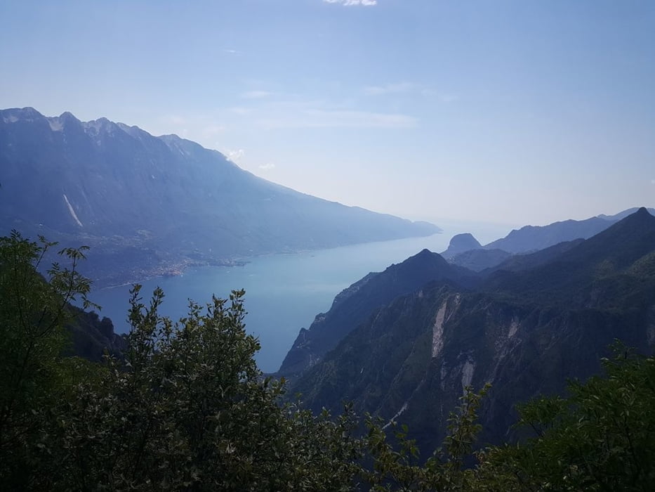
Dies ist der Bollebiker Alpencross 2016 von Oberstdorf nach Riva

Die Tour wurde in 7 Etappen geplant.


Weiter Infos auf: www.bollebiker.jimdo.de
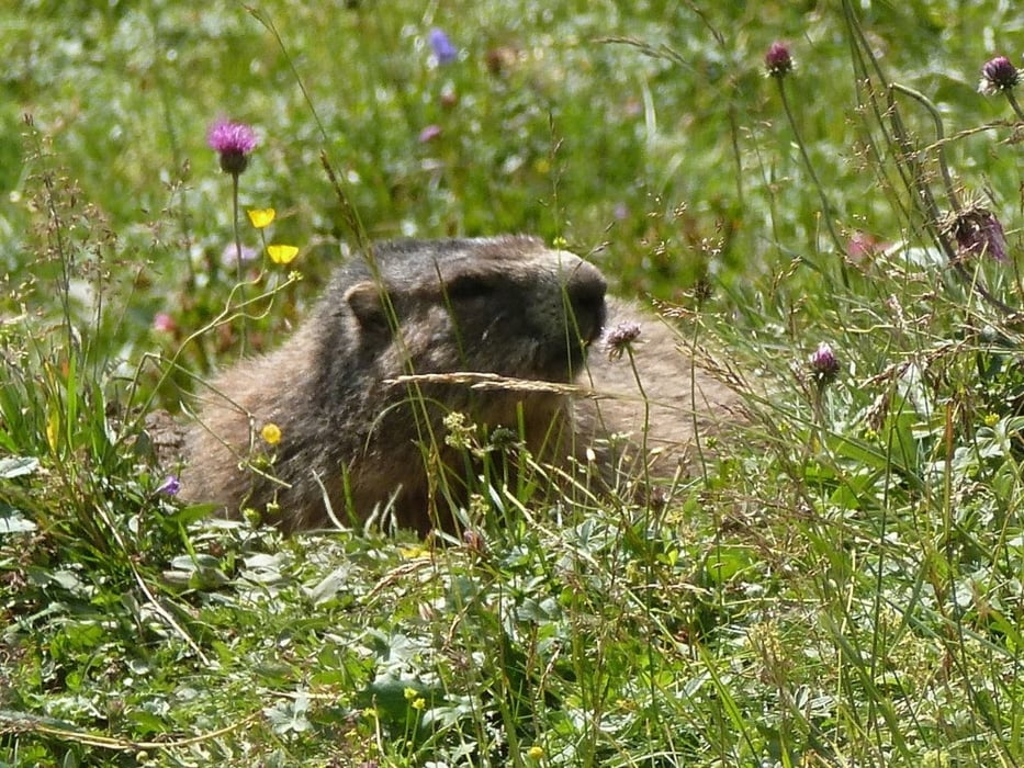
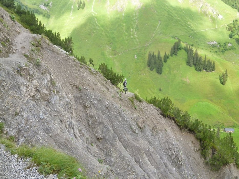
Tour gallery

Tour map and elevation profile

  • Open Street Map
  • Google
Minimum height 67 m Maximum height 2694 m Detailed view

More about the tour author

buggi
Member since 2008

Send private message

Comments

Start ist in Oberstdorf am Bahnhof oder aus der Spielmannsau wo wir übernachtet haben.

GPS tracks

Trackpoints
  • GPX / Garmin Map Source (gpx) download
  • TCX / Garmin Training Center® (tcx) download
  • CRS / Garmin Training Center® (crs) download
  • Google Earth (kml) download
  • G7ToWin (g7t) download
  • TTQV (trk) download
  • Overlay (ovl) download
  • Fugawi (txt) download
  • Kompass (DAV) Track (tk) download
  • Track data sheet (pdf) download
  • Original file of the author (gpx) download

More about the tour author

buggi
Member since 2008

Send private message
Share track
Add to my favorites
Remove from my favorites
Edit tags
My score
Rate
Track: Alpencross 2016 Bollebiker
Type: Transalp
Distance: 456,5 km
Evaluated on:
Duration:
Day(s)
Hour(s)
Minute(s)
Score: Landscape Fun factor Fitness Technique