Login

Forgot your login?

Cookies have to be accepted!
Your browser's cookie functionality is disabled. Please enable this functionality.

Not a member yet?

Register now
Login

Available for registred users only

Log in to use this feature.

Forgot your login?

Cookies have to be accepted!
Your browser's cookie functionality is disabled. Please enable this functionality.

Not a member yet?

Register now
Filter
Categories
Advanced filters
  • Distance (km)
  • Height
Save filters Reset filter

TrackRank

QRCode

Technical data

Distance39,6 km Height994 m Way down989 m Duration03:12 h:m Date18.05.2016
Scores Author Landscape Fun factor Fitness Technique

Statistics

313 Views Scores 14 Downloads Average
Rate
  • Track data sheet
  • Directions
  • Downloads
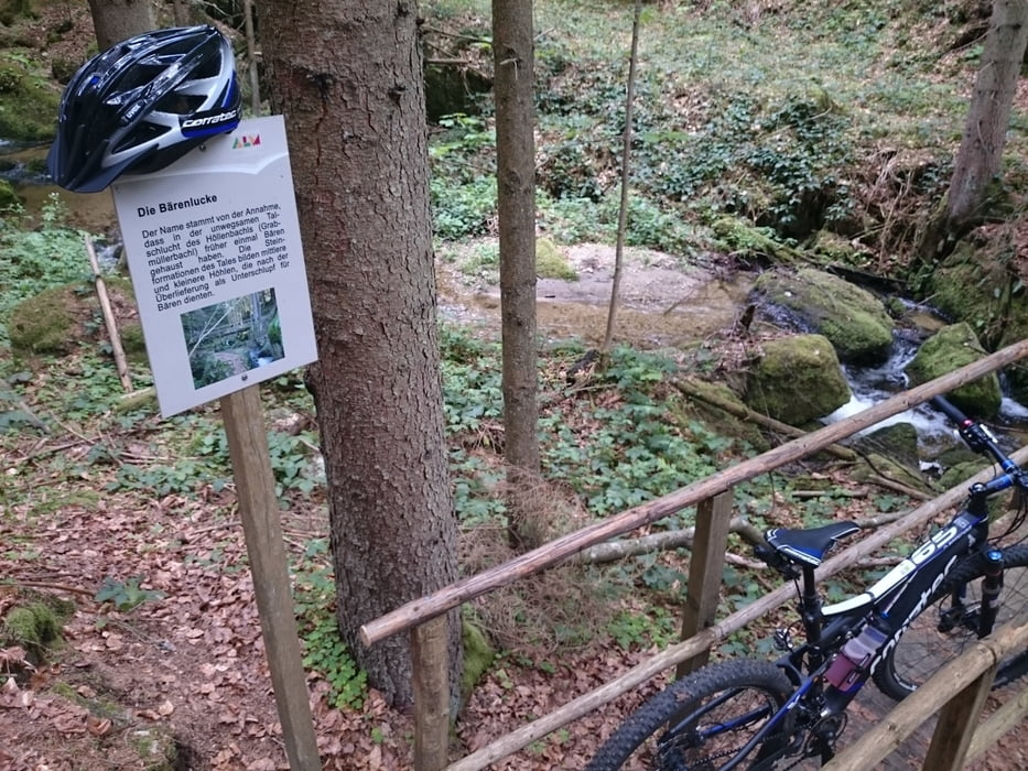
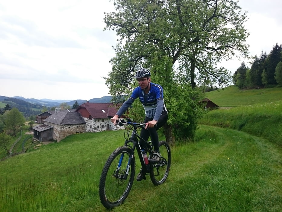
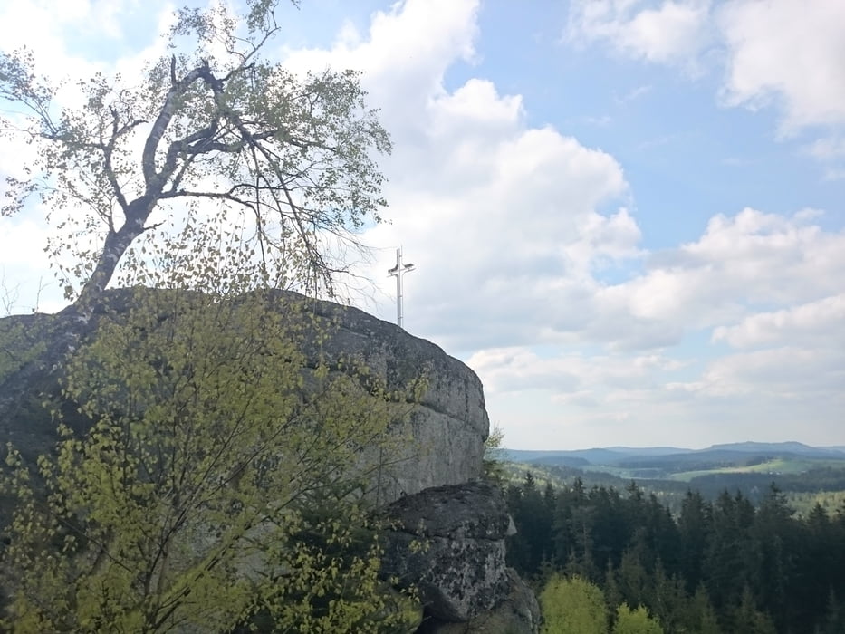
Diese Tour basiert auf "Frühling im unteren Mühlviertel". Das Tanner Moor und den Ort Liebenau habe ich aufgrund der bescheidenen Temperaturen weggelassen. Dazu gibt es ein paar Streckenänderungen, die mich ua. zum Gipfelkreuz der Jankusmauer geführt haben. Die letzten Meter sind aber nur zu Fuß bewältigbar.

Tour gallery

Tour map and elevation profile

  • Open Street Map
  • Google
Minimum height 622 m Maximum height 1032 m Detailed view

More about the tour author

rjkas
Member since 2003

Send private message

Comments

GPS tracks

Trackpoints
  • GPX / Garmin Map Source (gpx) download
  • TCX / Garmin Training Center® (tcx) download
  • CRS / Garmin Training Center® (crs) download
  • Google Earth (kml) download
  • G7ToWin (g7t) download
  • TTQV (trk) download
  • Overlay (ovl) download
  • Fugawi (txt) download
  • Kompass (DAV) Track (tk) download
  • Track data sheet (pdf) download
  • Original file of the author (tcx) download

More about the tour author

rjkas
Member since 2003

Send private message
Share track
Add to my favorites
Remove from my favorites
Edit tags
My score
Rate
Track: Jankusmauer Liebenstein
Type: Mountain bike
Distance: 39,6 km
Evaluated on:
Duration:
Day(s)
Hour(s)
Minute(s)
Score: Landscape Fun factor Fitness Technique