


Die Tour verläuft hauptsächlich auf Feld- und Radwege.
Start der Tour ist beim alten Sportplatz in Ebreichsdorf, über einen Feldweg geht es nach Velm und weiter nach Himberg.
Zwischen Velm und Himberg befindet sich ein Golfplatz durch den eine Privatstraße mit Fahrverbot führt.
Wer nicht durch den Golfplatz möchte hat die Möglichkeit in Velm auf der Kirchengasse links auf die Kaplangasse zu biegen, und den Golfplatz auf einem Feldweg zu umfahren.
Ab Himberg geht es auf dem EV9a durch Zwölfaxing, Rannersdorf, Schwechat und Mannswörth nach Wien zum Kraftwerk Freudenau und weiter auf die Donauinsel.
Auf der Donauinsel über eine Brücke zum nördlichen Donauufer wo der EV6 entlang führt.
Dem EV6 Richtung Hainburg durch Schönau bis nach Orth an der Donau folgen.
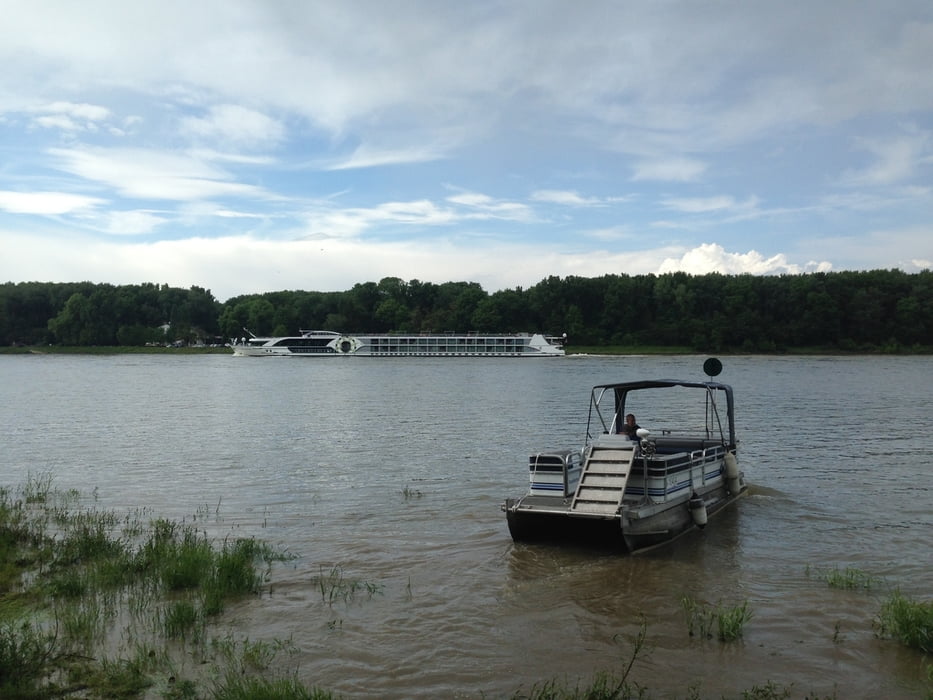
In Orth an der Donau geht es mit der Fähre nach Haslau.
Die kosten der Fähre betragen pro Person 3,5€ und pro Fahrrad 1€ (Preis 2016).
Ab Haslau geht es über Feldwege vorbei an Maria Ellend, Gallbrunn, Magarethen am Moos und Pischelsdorf nach Mitterndorf.
Ab Mitterndorf über den Fischaradweg durch Schranawand und Unterwaltersdorf zurück nach Ebreichsdorf.
Further information at
http://www.faehre-orth.at/Tour gallery

Tour map and elevation profile
Minimum height 140 m
Maximum height 233 m
More about the tour author
|
|
kersti |
Comments

in der Nähe vom Start/Ziel-Punkt befindet sich der Bahnhof Ebreichsdorf und einige Parkplätze
GPS tracks
Trackpoints-
GPX / Garmin Map Source (gpx) download
-
TCX / Garmin Training Center® (tcx) download
-
CRS / Garmin Training Center® (crs) download
-
Google Earth (kml) download
-
G7ToWin (g7t) download
-
TTQV (trk) download
-
Overlay (ovl) download
-
Fugawi (txt) download
-
Kompass (DAV) Track (tk) download
-
Track data sheet (pdf) download
-
Original file of the author (gpx) download
More about the tour author
|
|
kersti |
Add to my favorites
Remove from my favorites
Edit tags
Open track
My score
Rate