


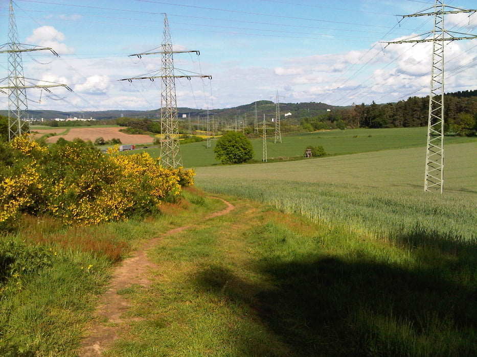
Am Morgen durch das Blies- und Taubental nach Kirkel Neuhäusel.
Zum Feierabend nahm ich den Weg auf den Taubenpass und den Hohen Kopf, Beeden nach Homburg zu H2 Sport.
Meine Teile waren da und ich konnte die gleich anbauen.
Danach schnell hoch nach Schwarzenbach zum Ausgangspunkt.
Perfektes Wetter macht gute Laune.
Further information at
https://de.wikipedia.org/wiki/Saarpfalz-KreisTour gallery
Tour map and elevation profile
Minimum height 228 m
Maximum height 358 m
More about the tour author
|
|
Pheinz |
Comments

Start und Ziel in Homburg Schwarzenbach.
GPS tracks
Trackpoints-
GPX / Garmin Map Source (gpx) download
-
TCX / Garmin Training Center® (tcx) download
-
CRS / Garmin Training Center® (crs) download
-
Google Earth (kml) download
-
G7ToWin (g7t) download
-
TTQV (trk) download
-
Overlay (ovl) download
-
Fugawi (txt) download
-
Kompass (DAV) Track (tk) download
-
Track data sheet (pdf) download
-
Original file of the author (gpx) download
More about the tour author
|
|
Pheinz |
Add to my favorites
Remove from my favorites
Edit tags
Open track
My score
Rate