
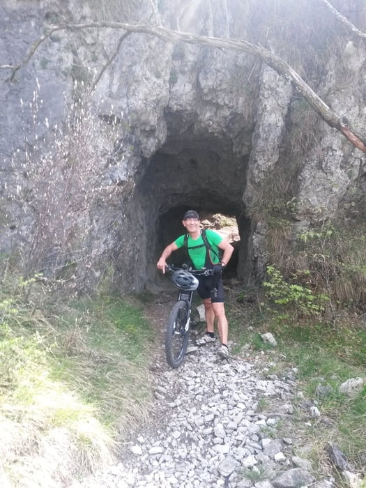

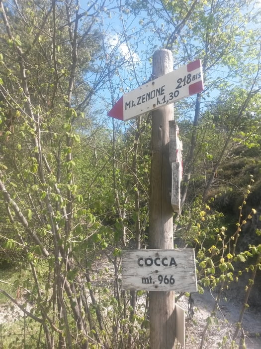
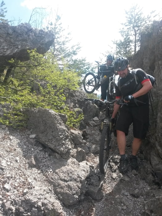
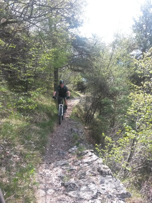
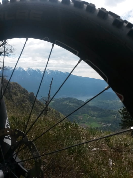
Nach dem Shuttle nach Vesio geht es am Ortsende zuerst auf Asphalt bis zur Abzweigung Valle San Michele. Die ersten 300HM kurbelt man auf einem Forstweg. Am Punkt La Cocca verlässt man den Sentiero218 und folgt der Piste links.Auf der Strecke befinden sich ein paar Tunnels die aus miltärischen Gründen angelegt wurden.An der Bochetta di Nansena trifft man wieder auf den 218er. Der verläuft fast höhengleich bis zur Bocca di Fobia. Hier kommt auch eine kurze Schiebepassage. Am Pass beginnt ein schöner Trail mit Wurzeln und Spitzkehren bei denen man an der Fahrtechnik feilen kann. Danach kommen wir auf die Strasse zum Passo Nota. Ab dem Passo Nota geht es die bekannte Strecke über Passo Guil, Passo Rochetta zur Malga Palaer. Danach über Pregasina hinunter nach Riva.
Further information at
http://www.radsportwagner.deTour gallery
Tour map and elevation profile
Minimum height 67 m
Maximum height 1353 m
More about the tour author
|
|
Uli |
Comments

Start ist in Vesio am Ortsende.
GPS tracks
Trackpoints-
GPX / Garmin Map Source (gpx) download
-
TCX / Garmin Training Center® (tcx) download
-
CRS / Garmin Training Center® (crs) download
-
Google Earth (kml) download
-
G7ToWin (g7t) download
-
TTQV (trk) download
-
Overlay (ovl) download
-
Fugawi (txt) download
-
Kompass (DAV) Track (tk) download
-
Track data sheet (pdf) download
-
Original file of the author (gpx) download
More about the tour author
|
|
Uli |
Add to my favorites
Remove from my favorites
Edit tags
Open track
My score
Rate