
")

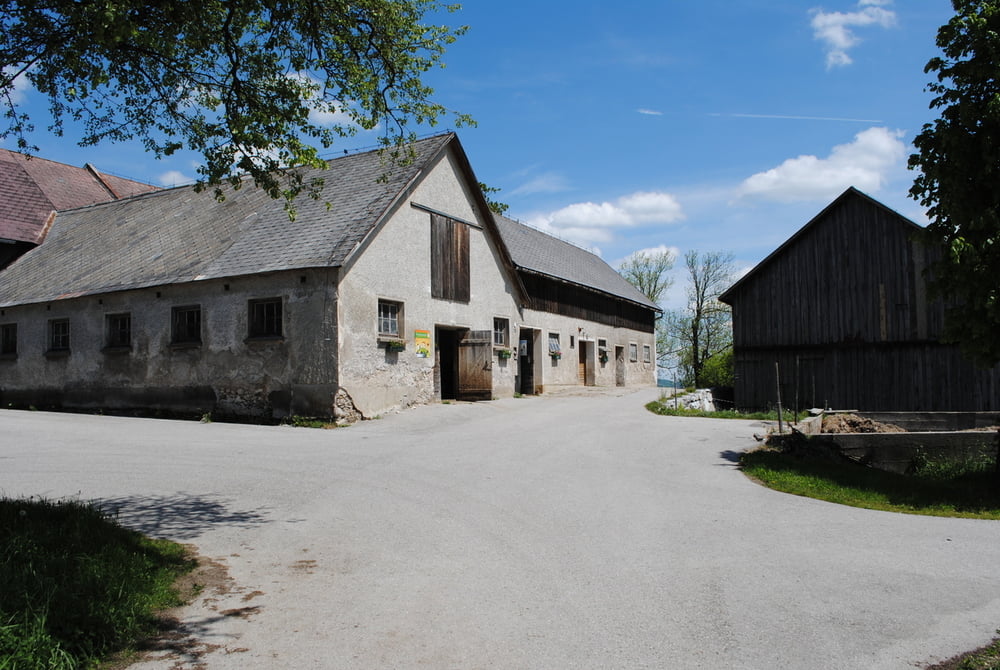
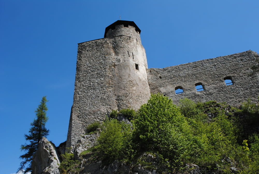
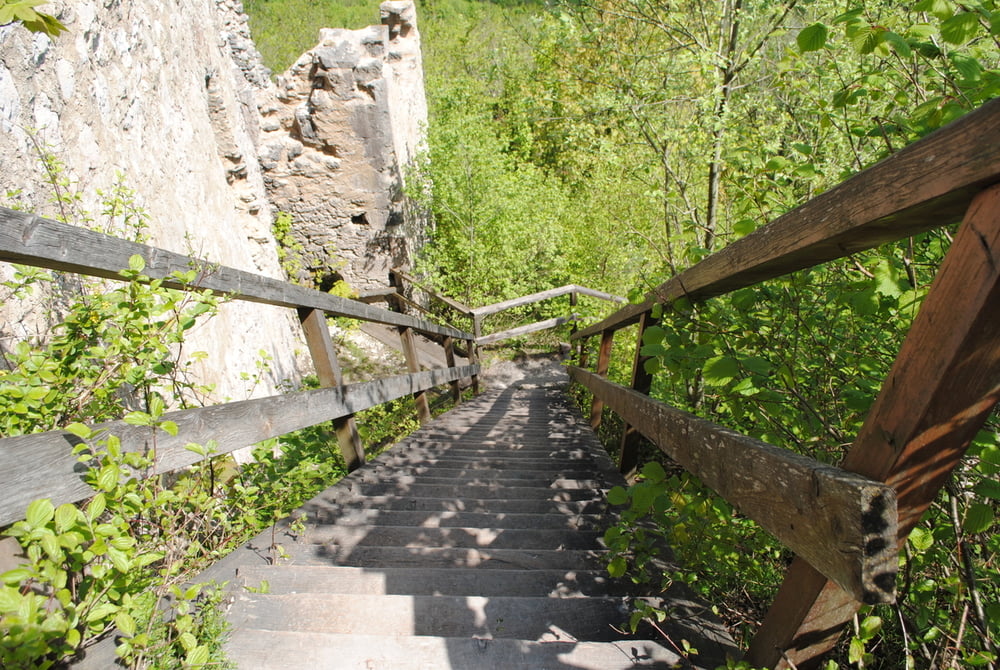
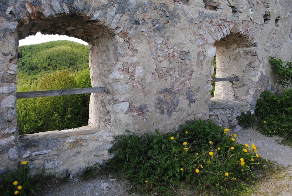
Wir beginnen in Kaumberg und wandern an der Kirche vorbei ,manchmal die Strasse querend und später auf Wirtschaftswegen zum Mayerhof und weiter zum Parkplatz ,unterhalb der Araburg.Nun ziemlich steil bergauf bis zur Burgruine.Kurze Rast im Burgstüberl und dann auf den Aussichtsturm mit wunderbarer Fernsicht.Den Rückweg beginnen wir auf den Forstweg nach Westen ,der uns um den Berg herum führt und uns wieder zum Parkplatz bringt.Von dort gleiche Route wie beim Aufstieg,über Mayerhof nach Kaumberg.
Tour gallery
Tour map and elevation profile
Minimum height 408 m
Maximum height 824 m
More about the tour author
|
|
LeoCheops |
Comments

GPS tracks
Trackpoints-
GPX / Garmin Map Source (gpx) download
-
TCX / Garmin Training Center® (tcx) download
-
CRS / Garmin Training Center® (crs) download
-
Google Earth (kml) download
-
G7ToWin (g7t) download
-
TTQV (trk) download
-
Overlay (ovl) download
-
Fugawi (txt) download
-
Kompass (DAV) Track (tk) download
-
Track data sheet (pdf) download
-
Original file of the author (gpx) download
More about the tour author
|
|
LeoCheops |
Add to my favorites
Remove from my favorites
Edit tags
Open track
My score
Rate