

Wie alle meine Touren - möglichste Asphaltvermeidung
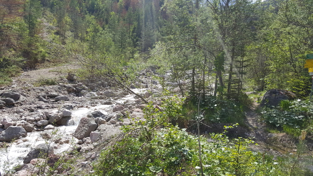
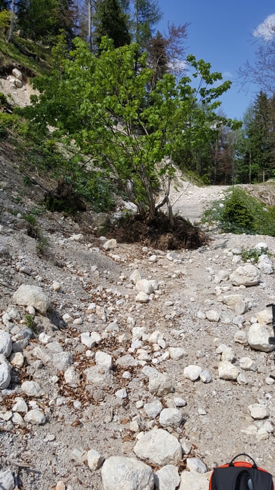
Die Tour beginnt in Villach, führt über den Drauradweg nach Bogenfeld / St.Niklas, dem Wauberg, Petzenitzen nach Unterferlach (mit einer kurzen Tragepassage von 70 m), über Schlatten nach Rosenbach. Durch die Baustelle am Karawankentunnel hindurch in den Graschnitzengraben und über die Steigverbindung zum Forstweg auf der Bertahüttenseite.
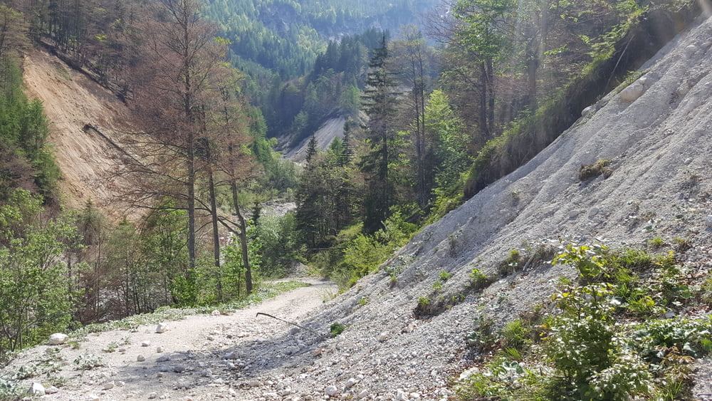
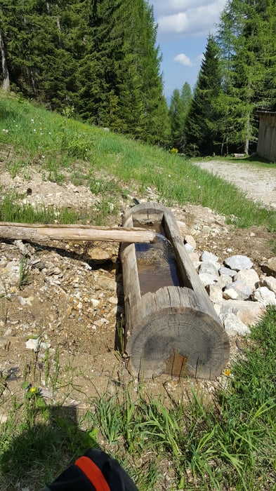
Hinauf auf den Ferlacher Sattel und über den Forstweg zum Hotel Mittagskogel und Ledenitzen. Über Egg und Drobollach / Fuchsbichl wieder zurück nach Villach.
Viel Spass...
Tour gallery
Tour map and elevation profile
Minimum height 476 m
Maximum height 1529 m
More about the tour author
|
|
johnatan |
Comments

Irgendwie zum Drauradweg und auf dem Drauradweg in Richtung Silbersee und weiter...
GPS tracks
Trackpoints-
GPX / Garmin Map Source (gpx) download
-
TCX / Garmin Training Center® (tcx) download
-
CRS / Garmin Training Center® (crs) download
-
Google Earth (kml) download
-
G7ToWin (g7t) download
-
TTQV (trk) download
-
Overlay (ovl) download
-
Fugawi (txt) download
-
Kompass (DAV) Track (tk) download
-
Track data sheet (pdf) download
-
Original file of the author (gpx) download
More about the tour author
|
|
johnatan |
Add to my favorites
Remove from my favorites
Edit tags
Open track
My score
Rate