


Start in Garmisch Partenkirchen vom Hotel Riessersee.
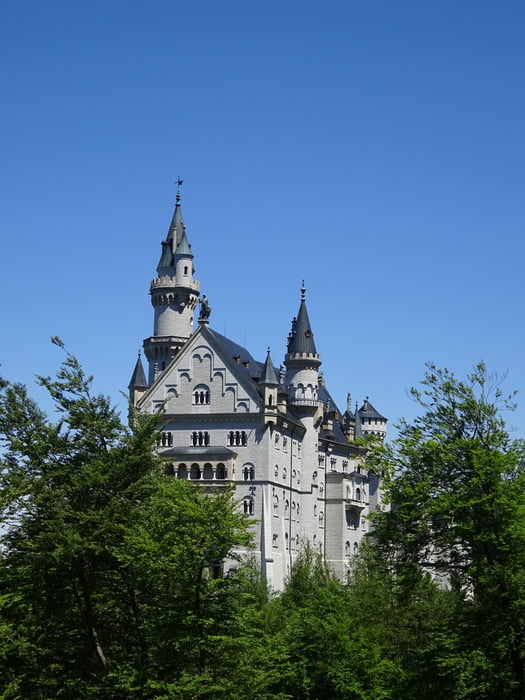
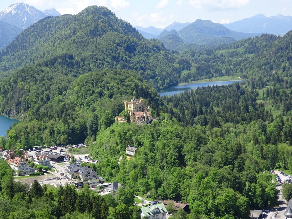
3-Schlössertour (Hohenschwangau, Neuschwanstein, Linderhof):
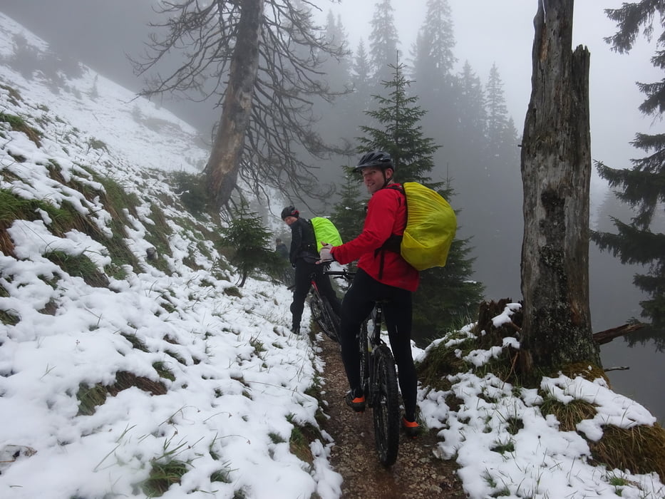
Erste Etappe von Garmisch über die Enningalm 1544hm (dort Ende Mai kleinere Schneepassage notwendig). Schönster Downhill von dort Richtung Plansee. Übernachtung in der Musteralpe.
Zweite Etappe 90km um den Plansee herum und an den besagten 3 Schlössern vorbei. Pause bei der Bleckenau mit anschließender starker Abfahrt. Ankunft in Garmisch, wir haben in Grainau übernachtet.
Wettersteinumrundung:
Umrundung der Zugspitze in 2 Etappen. Von Grainau zum Eibsee, dann weiter zur Hochthörle Hütte. Dann Abfahrt nach Ehrwald. von dort heftiger Anstieg zur Ehrwaldalm und weiter zur Tillfussalm (Ruth und Alfred)
Letzte Etappe lockeres Ausrollen von der Tillfussalm nach Garmisch zurück. Die Autos waren am Riessersee sicher geparkt.
Wahnsinns Tour, mit spektakulären Impressionen!!!
Tour gallery

Tour map and elevation profile
Minimum height 657 m
Maximum height 1597 m
More about the tour author
|
|
felix88 |
Comments

GPS tracks
Trackpoints-
GPX / Garmin Map Source (gpx) download
-
TCX / Garmin Training Center® (tcx) download
-
CRS / Garmin Training Center® (crs) download
-
Google Earth (kml) download
-
G7ToWin (g7t) download
-
TTQV (trk) download
-
Overlay (ovl) download
-
Fugawi (txt) download
-
Kompass (DAV) Track (tk) download
-
Track data sheet (pdf) download
-
Original file of the author (gpx) download
More about the tour author
|
|
felix88 |
Add to my favorites
Remove from my favorites
Edit tags
Open track
My score
Rate