


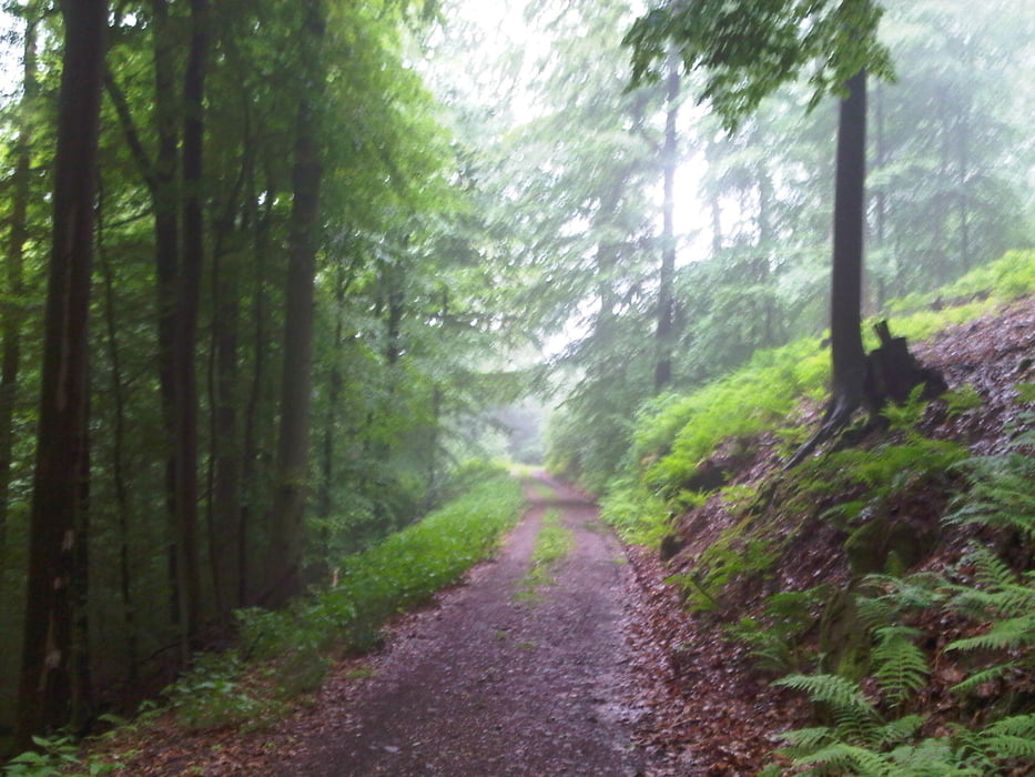
Ich startete meine feuchte Runde in Homburg Schwarzenbach durch das Blies- und Taubental nach Kirkel Neuhäusel.
Nach getanem Tagwerk rollte ich an meinem bevorzugten Kiosk im Ort vorbei und anschließend in kleines Stück in das Kirkeler Tal hinein bevor ich mich auf einem schmalen Weg an den Aufstieg in den Kirkeler Wald machte. Mein Weg führte mich am Waldklassenzimmer vorbei und durch die Traverse knapp unterhalb des Kammes über die 7 Fichten. Danach fuhr noch ein wenig die Traverse um dann über den Kamm zu dem Hügel "Aud dem Schucht" oberhalb von Bierbach an der Blies das ich nach einer schönen Abfahrt erreichte.
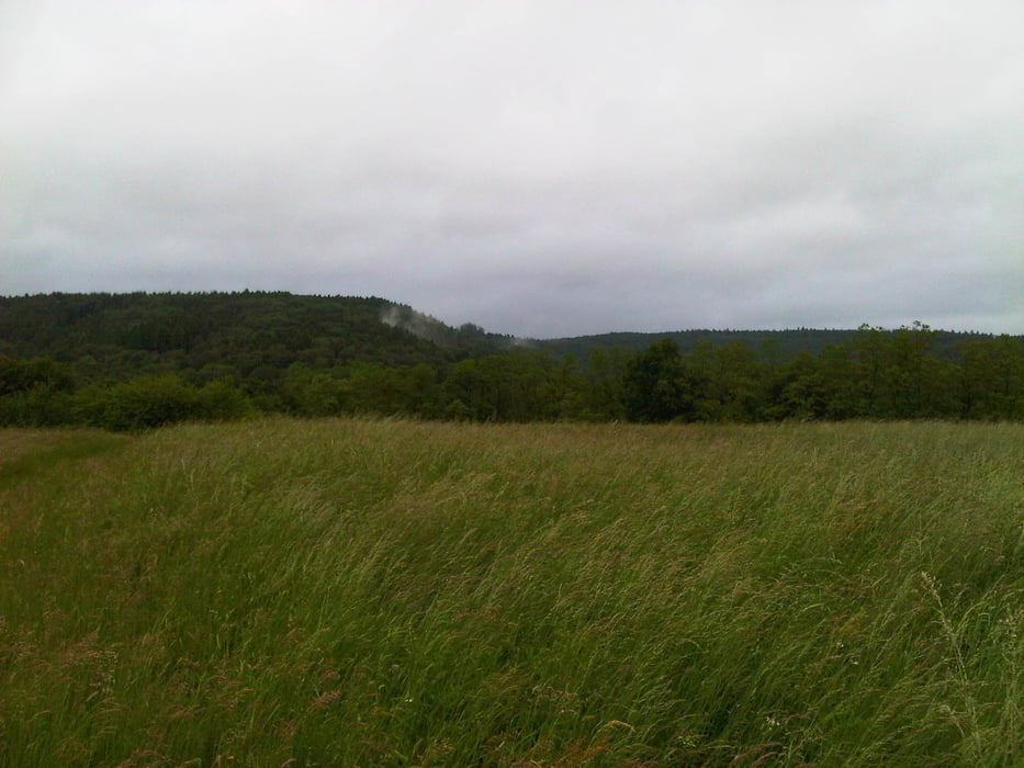
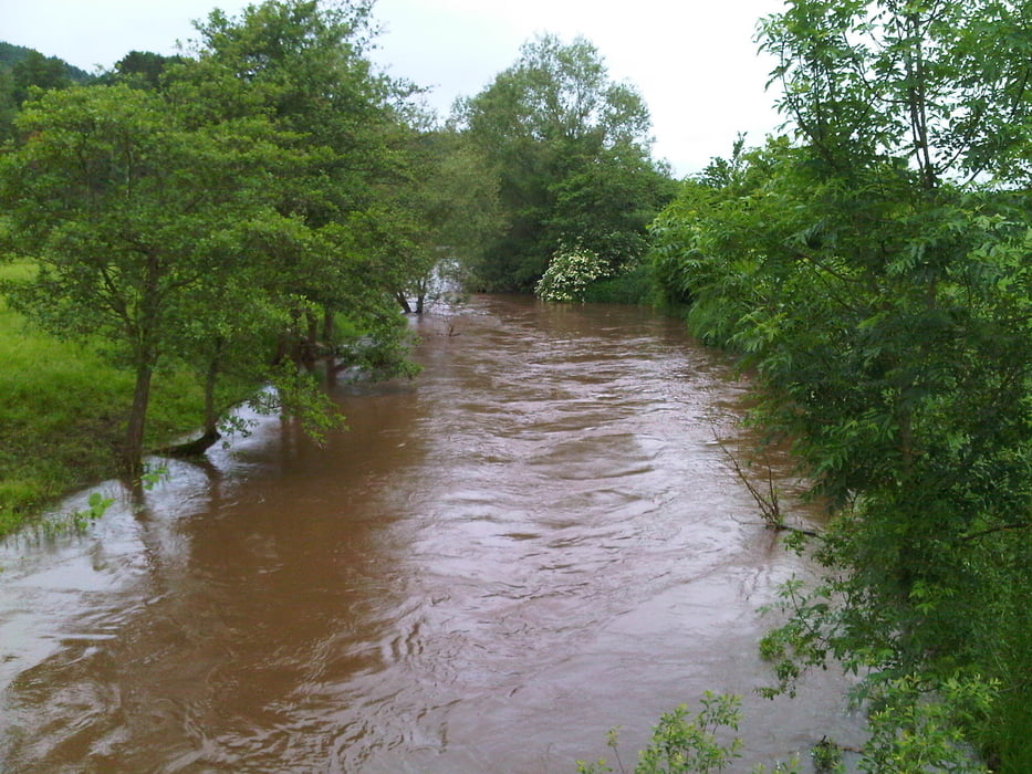
Den restlichen Rückweg trat ich bei gutem Wind im Bliestal an.
Further information at
http://www.biosphaere-bliesgau.eu/index.php/de/Tour gallery
Tour map and elevation profile
Minimum height 228 m
Maximum height 372 m
More about the tour author
|
|
Pheinz |
Comments

Start und Ziel in Homburg Schwarzenbach.
GPS tracks
Trackpoints-
GPX / Garmin Map Source (gpx) download
-
TCX / Garmin Training Center® (tcx) download
-
CRS / Garmin Training Center® (crs) download
-
Google Earth (kml) download
-
G7ToWin (g7t) download
-
TTQV (trk) download
-
Overlay (ovl) download
-
Fugawi (txt) download
-
Kompass (DAV) Track (tk) download
-
Track data sheet (pdf) download
-
Original file of the author (gpx) download
More about the tour author
|
|
Pheinz |
Add to my favorites
Remove from my favorites
Edit tags
Open track
My score
Rate