Login

Forgotten password?

Cookies have to be accepted!
Your browser's cookie functionality is disabled. Please enable this functionality.

Not a member yet?

Register now
Login

Available for registred users only

Log in to use this feature.

Forgotten password?

Cookies have to be accepted!
Your browser's cookie functionality is disabled. Please enable this functionality.

Not a member yet?

Register now
Filter
Categories
Advanced filters
  • Distance (km)
  • Height
Save filters Reset filter

TrackRank

QRCode

Technical data

Distance16,1 km Height944 m Way down937 m Duration05:18 h:m Date05.06.2016
Scores Author Landscape Fun factor Fitness Technique

Statistics

492 Views Scores 9 Downloads Average
Rate
  • Track data sheet
  • Directions
  • Downloads
Buona escursione nel cuore dei Lagorai. Percorso non difficile ma lungo.

Further information at

http://www.magicoveneto.it/Lagorai/ValleDelVanoi/Valle-del-Vanoi-Canal-San-Bovo-Caoria.htm

Tour gallery

Tour map and elevation profile

  • Open Street Map
  • Google
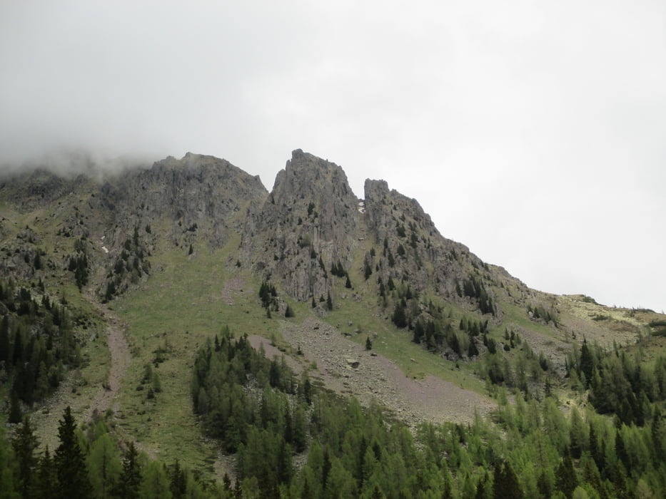
Minimum height 1095 m Maximum height 1829 m Detailed view

More about the tour author

agosflavio
Member since 2013

Send private message

Comments

GPS tracks

Trackpoints
  • GPX / Garmin Map Source (gpx) download
  • TCX / Garmin Training Center® (tcx) download
  • CRS / Garmin Training Center® (crs) download
  • Google Earth (kml) download
  • G7ToWin (g7t) download
  • TTQV (trk) download
  • Overlay (ovl) download
  • Fugawi (txt) download
  • Kompass (DAV) Track (tk) download
  • Track data sheet (pdf) download
  • Original file of the author (gpx) download

More about the tour author

agosflavio
Member since 2013

Send private message
Share track
Add to my favorites
Remove from my favorites
Edit tags
My score
Rate
Track: Escursione Rifugio Refavaie a Malga Cupolà di Sopra
Type: Hiking
Distance: 16,1 km
Evaluated on:
Duration:
Day(s)
Hour(s)
Minute(s)
Score: Landscape Fun factor Fitness Technique